The most important point for those who live in the region is to separate two things that appear mixed in the debate: the technical line was defined in July 2026, but this does not mean that all the administrative consequences have changed at once. The Technical Agreement signed by Aracaju and São Cristóvão validated the cartographic and georeferenced survey of the area under discussion. Federal legislation itself, however, provides for subsequent steps for an eventual dismemberment and incorporation: Municipal Feasibility Study, legislative decree calling for the plebiscite, popular consultation organized by the Electoral Court and, if the result is favorable, state law establishing the new limits.
Therefore, the answer to questions such as "has my address already changed municipality?", "which city hall should serve my street?" or "does my property tax change now?" it cannot be taken just from a headline, the name of the neighborhood or an illustrative map. For a specific property, it is necessary to compare the official georeferenced line with the address registration and follow the administrative acts that implement any transition.
What was defined on July 17, 2026
On July 17, the two municipalities signed the Technical Agreement. In the version released by Aracaju City Hall, the document validates the survey used to define the new dividing line. The work of Sergipe's Special Secretariat for Planning, Budget and Innovation transformed legal and cartographic references into precise geographic coordinates. The descriptive memorial and the term were sent to the 3rd Federal Court and the Brazilian Institute of Geography and Statistics.
There is a point of consensus that should not be lost in the midst of political positions: Aracaju and São Cristóvão agreed on the technical materialization of the line. The interpretation of the immediate effects of this step, however, appears differently in official communications. Aracaju states that the agreement does not, in itself, amount to a transfer of territory and treats it as a necessary step to follow the plebiscite procedure. São Cristóvão presents the term
as a decisive stage in territorial recovery and says that the administrative transition must advance in the judicial process. These positions need to be assigned to each municipality, and not presented as if they were a single legal conclusion already executed in all registrations and services.
How the map was constructed and which areas appear in the debate
Official documents and communiqués show that the line was not drawn simply as a straight line crossing the Expansion Zone. Seplan stated that it needed to consider the existing urban occupation and create intermediate coordinates capable of indicating, on the ground, which side of the border specific areas are on. This is important because the same neighborhood or the same region known by popular name can be crossed by the line.
In official publications from São Cristóvão, the area studied includes locations such as Santa Maria, Mosqueiro, Robalo, Areia Branca and Matapuã, among others. In a previous stage, studies already pointed to convergence in landmarks such as Riacho Palame and Mondé da Onça. The remaining divergence was in the North Pontal of the Vaza Barris River. At the hearing on June 30, a solution was accepted based on the so-called Point 6, mentioned in the state study and related to an IBGE cartographic base from 1983.
This helps to understand why a list of neighborhoods does not solve each resident's question. Saying that Mosqueiro, Areia Branca or Santa Maria are "in the affected area" does not mean that the entire extension of each location will necessarily be on the same side. The decisive element is the coordinate of the official line on the property, street, public equipment or lot analyzed.
What stage is the process at in August 2026
Federal Complementary Law No. 230, of April 15, 2026, organizes the rite to separate part of a municipality and incorporate it into another neighboring municipality. By law, the initiative falls to the Legislative Assembly, which must also provide the Municipal Feasibility Study. After the conclusion and wide dissemination of this study, the Assembly deliberates on a legislative decree calling for the plebiscite. Only then will the Regional Electoral Court take action for voting.
The Municipal Feasibility Study is not an empty formality. The law requires economic-financial and fiscal analysis, assessment of infrastructure and essential public services, administrative impacts, urban and social aspects, identity and sense of belonging. It also requires updated and georeferenced identification of limits. In other words, most of the residents' practical questions need to be examined precisely at this stage.
As of the official communications consulted on August 15, what appears to have been completed is the technical definition of the line and its forwarding to the bodies involved. On July 23, Aracaju City Hall reported that it had started negotiations with the Legislative Assembly for the Municipal Feasibility Study. On July 29, after a meeting with a representative of the Sergipe TRE, the municipality once again noted that the feasibility studies and the legislative decree were still necessary steps before the consultation.
Already defined: there is an agreed technical line
What can already be treated as a documentary fact is that there is a technical line agreed upon by the two municipalities, built from cartographic studies and field work. The term of July 17 records this agreement and the descriptive memorandum was sent to the Federal Court and the IBGE. This is different from the previous scenario, in which there was still disagreement over one of the landmarks used to close the delimitation.
The basic sequence for the dismemberment with incorporation is also defined in law: feasibility study, call for a plebiscite, consultation of the populations of the two municipalities and, if there is a favorable result, state law establishing the new limits. The popular will is determined in a single plebiscite involving the populations of both municipalities.
Still pending: plebiscite, implementation and registration effects
The technical term does not replace the plebiscite provided for in Complementary Law No. 230/2026. It also does not replace the legislative decree of the Assembly, the organization of the consultation by the Electoral Court or any subsequent state law. This is why it is not safe to transform the signature of the term into a simplified phrase such as "the neighborhood has already changed city" without checking which legal and administrative procedure is being applied to each concrete effect.
The law itself separates territorial design from fiscal implementation. It determines that new amounts from the Municipal Participation Fund and other constitutional and legal transfers arising from the dismemberment will only be distributed after the end of the financial year following the approval of the state law that establishes the new limits. This detail shows that not all financial effects immediately follow the cartographic demarcation.
Public services before the plebiscite
For the resident, this is one of the most sensitive points. On July 17, Aracaju City Hall stated that it would maintain assistance to the population of the area and highlighted the continuity of essential services until the plebiscite takes place. In previous publications, the municipal administration also related its activities in the region to health, education, urban cleaning, infrastructure and other services.
This does not mean that any service is legally frozen forever, nor does it eliminate the possibility of a later administrative transition. It just means that the most direct official information from Aracaju at the time of the agreement was that assistance would continue. São Cristóvão, in turn, states that the transition phase should allow the municipality to assume responsibilities over the areas that remain under its administration. As the schedule for this transfer depends on subsequent acts, it is not responsible to anticipate a single date for changing the reference school, health unit, garbage collection or other service without specific publication from the competent body.
Address, zip code and property registration do not change just because the map has changed
Updating cartographic boundaries and updating all records used on a daily basis are different processes. The fact that IBGE receives coordinates to update the territorial reference does not prove, in itself, that a ZIP code, a real estate registration, a license plate, a
service account or the name of the municipality on private bases has been changed on the same date.
Until August 15, the official sources consulted did not present a general rule saying that all addresses in the area would automatically start using São Cristóvão or Aracaju once the agreement was signed. To find out the status of a property, the documentary route is to check its position on the georeferenced line and then check the official records effectively updated by the responsible bodies.
What about taxes, such as IPTU and ISS?
Taxes require even more care because the dispute over limits has already had tax repercussions on the Judiciary. In 2022, the Federal Supreme Court reiterated, when judging a case linked to the area between Aracaju and São Cristóvão, the need for prior consultation for municipal dismemberment and addressed the impossibility of charging IPTU by the municipality that received the dismembered area without the constitutionally required plebiscite in that context.
This historical precedent does not authorize concluding, without a current act, which bill should change in 2026 for each taxpayer. The correct thing to do is to separate the constitutional discussion from the current administrative procedure. A resident should not just use the map or news to decide which tax registration is valid. If a conflicting charge or change of registration arises, the reference must be the act of the competent tax authorities and, in case of controversy, the appropriate administrative or legal channels.
Will the plebiscite take place alongside the 2026 elections?
Complementary Law No. 230 provides that the plebiscite should preferably take place on the same date as the general or municipal elections. For 2026, it created an exceptional rule: the convening legislative decree would need to be approved at least 60 days before the election for the consultation to be simultaneous.
On July 29, Aracaju City Hall reported that holding the first round had become more difficult and that the possibility of adapting to the second round was still being discussed. The same publication noted that, if the coincidence with the electoral calendar was not viable, the expectation would be to carry out the consultation in the shortest possible time, in accordance with the Electoral Court procedures. Therefore, there is no documentary basis for presenting the date of the plebiscite as definitively set just because the technical line has already been agreed.
How to check if a street or property is within the affected area
For reliable verification, the first relevant document is the map or georeferenced memorial that materializes the line accepted by the municipalities. The second step is to locate the property or public equipment on this basis, preferably by coordinates or official registration, and not just by the informal name of the location. The third is to confirm whether the responsible body has already updated its registration and whether there is a transition act applicable to the service, tax or document that interests the resident.
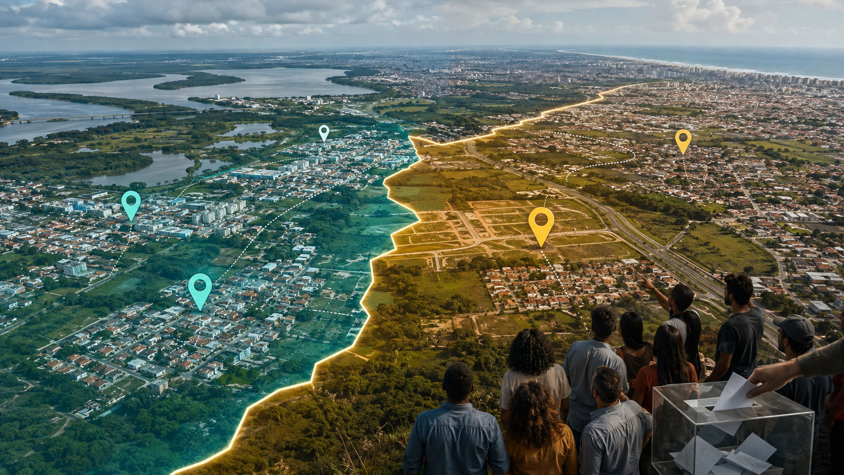
The cover image of this article is an editorial illustration and should not be used to locate properties. The 2026 debate itself shows why this distinction matters: the real line contains several intermediate points and coordinates to track urban occupation, while a simplified visual representation serves only to explain the topic.
What to watch from now on
The next milestones that really change the stage of the process are documentary. The publication of the Municipal Feasibility Study will show how services, finances, infrastructure and belonging were evaluated. A legislative decree from the Assembly will indicate that the consultation has been formally convened. The Electoral Court must then organize the plebiscite and publish its date and rules. If the population approves the dismemberment, a state law will be necessary to establish the new limits as provided for by federal legislation.
Until these steps produce concrete acts of implementation, the safest reading is this: the discussion is no longer without a defined technical line, but it has not yet automatically converted into a simultaneous change of all services, addresses, taxes and population registrations. For the resident, the difference between "drawn line" and "implemented administrative effect" is precisely what avoids confusing progress in the process with a fait accompli.