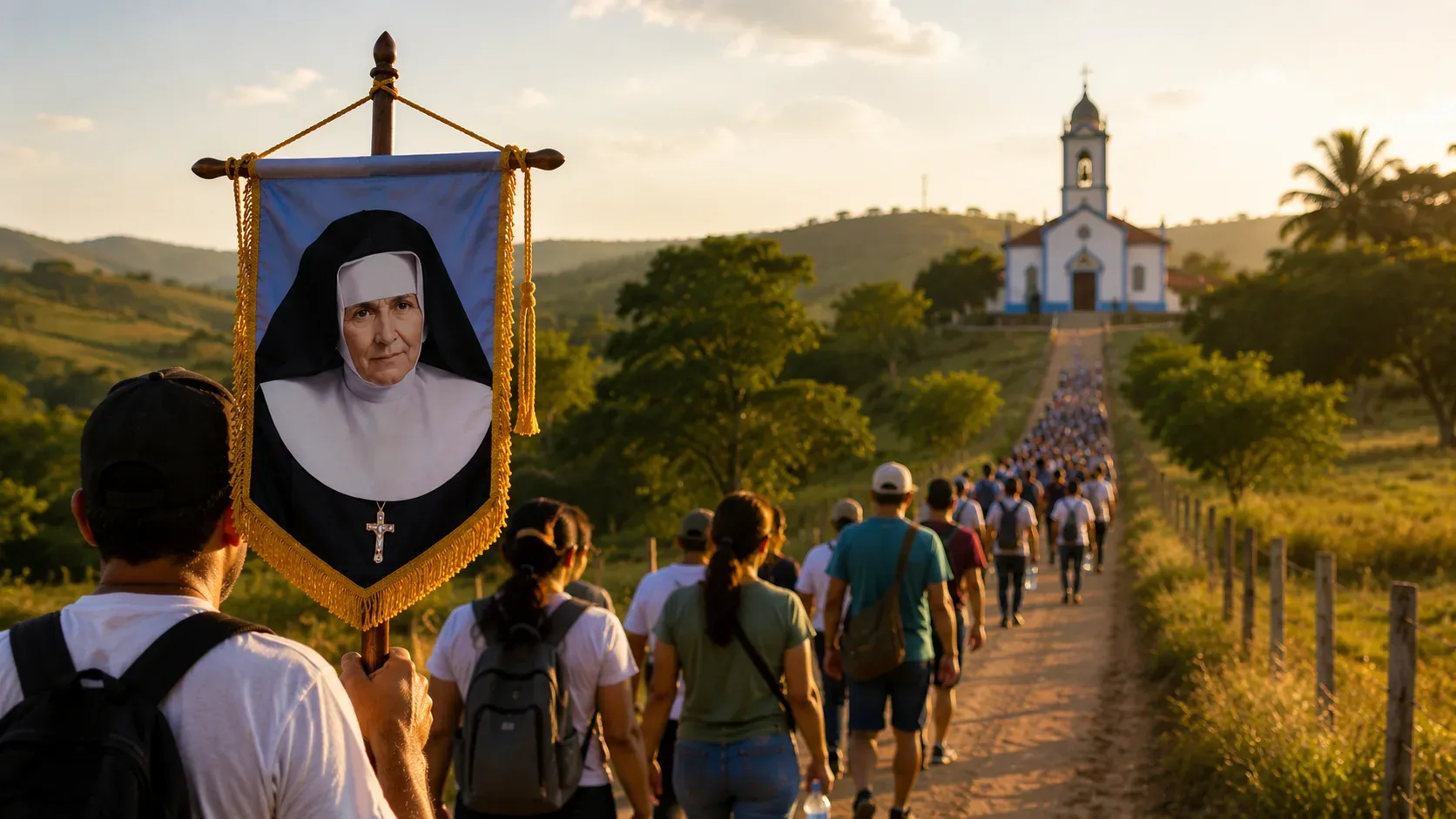
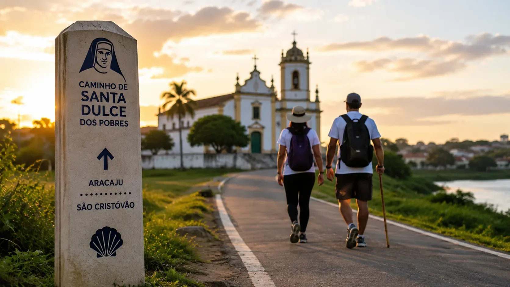
The Santa Dulce dos Pobres Pilgrimage Route connects Aracaju with the Historic Center of São Cristóvão and was designed as a pilgrimage of approximately 16.9 to 17 km. The religious starting point defined in the project is Santa Dulce dos Pobres Parish, in the Aruana neighborhood of Aracaju; the destination is the Carmo Convent in São Cristóvão, a site connected to the beginning of Saint Dulce's religious life. However, the roadwork inaugurated on April 13, 2026 covers about 10 km of paving. The two figures do not measure the same thing.
Where the Santa Dulce route starts and ends
For anyone intending to complete the full pilgrimage, the reference starting point is Santa Dulce dos Pobres Parish, at Rua Orlando Tavares Macedo, s/n, Aruana, Aracaju. The official itinerary published in 2021 established the departure from the parish and arrival in São Cristóvão after roughly 16.9 km of walking.
The endpoint is the Carmo Convent in São Cristóvão's Historic Center. The choice is not merely geographical: it was in this religious complex that the young Maria Rita Lopes Pontes spent part of her formation and took the religious name Dulce. The municipality also maintains a memorial dedicated to the saint in the complex.
What route does the pilgrimage follow to São Cristóvão?
Public documents describe the route through territorial landmarks rather than providing a turn-by-turn street itinerary in every publication. The approved path leaves Aruana, heads toward the former Caípe Velho road corridor and crosses areas of São Cristóvão before reaching the Historic Center.
- Start: Santa Dulce dos Pobres Parish, Aruana, Aracaju.
- Connection to the improved section: southern Aracaju, with official references to Santa Maria and the municipal boundary in the 17 de Março area.
- São Cristóvão section: through areas such as Caípe Novo and Candeal.
- Urban landmark: Romualdo Prado neighborhood, where São Cristóvão's Cristo Redentor monument is located.
- Finish: Historic Center and Carmo Convent.
The official 2021 route definition explicitly mentions Caípe Novo, Candeal and Romualdo Prado. Construction documents, meanwhile, use references such as Santa Maria, Caípe Velho, Ladeira da Colina and the Aracaju–São Cristóvão boundary. This explains why different reports seem to give different start or finish points: some describe the entire pilgrimage, while others describe the physical section that received infrastructure works.
So is it 10 km, 16.9 km or 17 km?
| Published distance | What it represents |
|---|---|
| 16.9 km | The pilgrimage itinerary approved in 2021, starting at the parish in Aruana and continuing to São Cristóvão. |
| about 17 km | The rounded figure used in project documents and public communications for the full religious route from Aracaju to the Carmo Convent. |
| about 10 km | The granite-paving and infrastructure section carried out by the Government of Sergipe and delivered in April 2026. |
Therefore, anyone walking from Santa Dulce dos Pobres Parish should plan for close to 17 km, not just 10 km. The official 2026 inauguration notice describes about 10 km of granite paving, sidewalks and drainage; Sedurbi likewise described that segment as the road intervention between southern Aracaju and São Cristóvão.
How long does the walk take?
When the 16.9 km itinerary was approved, the São Cristóvão municipal government published an estimate of 3 hours of walking. That corresponds to a fairly brisk pace and should not be read as a guaranteed duration for every pilgrim.
For practical planning, it is more prudent to allow at least 4 hours or more if you intend to stop, walk with a group, take photos, pray or slow down on uphill and cobblestone sections. This is a planning recommendation, not an official route time.
What infrastructure is available?
The works delivered in April 2026 included granite paving, accessible sidewalks, drainage and road signage. At the same inauguration, the state government announced a new phase with eight support stops along the route, with a separate work order to resume their installation.
For that reason, travelers should not assume that all eight facilities are available and operating on any given date. Before setting out, confirm locally which support points, toilets, food services and rest areas are actually open. The original project planned spaces for prayer, rest and food, but being included in the design does not automatically mean they will be available on the day of your walk.
How to walk the Santa Dulce route more safely
- Use the parish in Aruana as your starting reference if you want to complete the full religious route.
- Start early. A walk of roughly 17 km can mean several hours exposed to heat and local traffic.
- Carry water and some food. Do not rely entirely on support points whose operation has not been confirmed.
- Wear footwear you have already tested. A significant part of the route uses cobblestone paving, which can be harder on the feet than a flat sidewalk.
- Keep navigation available on your phone and enough battery. Public sources provide landmarks and localities, but they are not a substitute for an up-to-date navigation map at every junction.
- Watch for vehicles. The route also serves residents and drivers; it is not a pedestrian-only trail.
- Plan your return. If your walk ends at the Carmo Convent, arrange transportation in advance from São Cristóvão's Historic Center back to Aracaju or your accommodation.
Is the route only for organized pilgrimages?
No. From the project's definition, the stated intention was to create a route that could be used throughout the year, not only during an annual pilgrimage. That makes it suitable for individual walks or small groups, provided pilgrims make their own arrangements for logistics, safety and the return journey.
What is worth seeing at the finish?
The Carmo Convent is the symbolic destination because it preserves Saint Dulce's connection with São Cristóvão. If time allows, you can combine the finish with a visit to the Santa Dulce dos Pobres Memorial, but check current opening hours before planning your day because religious schedules and visitor access may change.
Planning summary
- Religious-route start: Santa Dulce dos Pobres Parish, Aruana, Aracaju.
- Destination: Carmo Convent, Historic Center of São Cristóvão.
- Full distance: approximately 16.9–17 km.
- Paved works delivered in 2026: about 10 km.
- Official time published in the project: about 3 hours; allow longer if you plan to stop.
- Profile: a long urban/peri-urban walk sharing parts of the corridor with local traffic.
- Support stops: eight facilities were treated as a separate project phase; confirm availability before going.