The agenda needs an important correction: on August 2, 2026, El Niño is not just a possibility for the future. The phenomenon is already established in the Pacific Ocean and shows signs of intensification.
The term “Super El Niño”, however, must be understood with caution. It frequently appears in headlines, but is not an official classification adopted by the World Meteorological Organization — WMO. The technically most appropriate expression is Very strong El Niño.
This does not make the scenario irrelevant. On July 9, 2026, NOAA's Climate Prediction Center estimated 81% probability of a very strong El Niño between October and December 2026 and a 97% chance of the phenomenon persisting until early spring 2027 in the Northern Hemisphere — approximately until the first quarter of 2027.
The real impact, however, will not be a kind of “one-size-fits-all climate catastrophe”. El Niño changes the chances of heat, rain and drought. The concrete consequence will depend on the region, time of year, local conditions and interaction with other atmospheric systems.
What is already confirmed about the 2026 El Niño
NOAA declared the establishment of El Niño conditions on June 11, 2026. Since then, warming of the equatorial Pacific and changes in atmospheric circulation have indicated a coupled and strengthening system.
In the July 31, 2026 update, the WMO reported that a strong El Niño was continuing to intensify and was expected to influence global weather patterns during the August-September-October quarter. The organization also highlighted the greater likelihood of above-normal temperatures across much of the planet and important changes in the distribution of rainfall.
In Brazil, the bodies that make up the 2026-2027 El Niño Panel point out:
- probability greater than 90% of the phenomenon remaining until at least the beginning of 2027;
- high possibility of a very strong event between spring and summer;
- below average rainfall trend in part of the center-north of the country;
- possibility of above-average rain in areas of the Southern Region;
- above normal temperatures in much of the territory;
- greater attention to heat waves, forest fires, droughts, floods and landslides.
These projections are seasonal. They indicate the most likely condition over a period of several months, but do not determine how much rain will fall in a specific city or anticipate the exact date of a storm.
Why “too strong” doesn’t mean guaranteed disaster
The intensity of El Niño is measured primarily by temperature anomalies in the equatorial Pacific and the associated behavior of the atmosphere. A warmer ocean could strengthen changes in wind circulation and moisture transport, increasing the global influence of the phenomenon.
Still, a very strong El Niño does not automatically produce the typical impact everywhere. NOAA itself highlights that even the most intense events can present results that differ from the expected standard in certain regions.
WMO also explains that the effects depend on the intensity, duration, time in which the phenomenon develops and its interaction with other components of the climate system, such as the Indian Ocean Dipole.
Therefore, a below-average rainfall forecast does not mean a total absence of storms. Likewise, above-average rainfall in one season does not mean it will rain continuously. There may be long dry intervals interrupted by intense episodes.
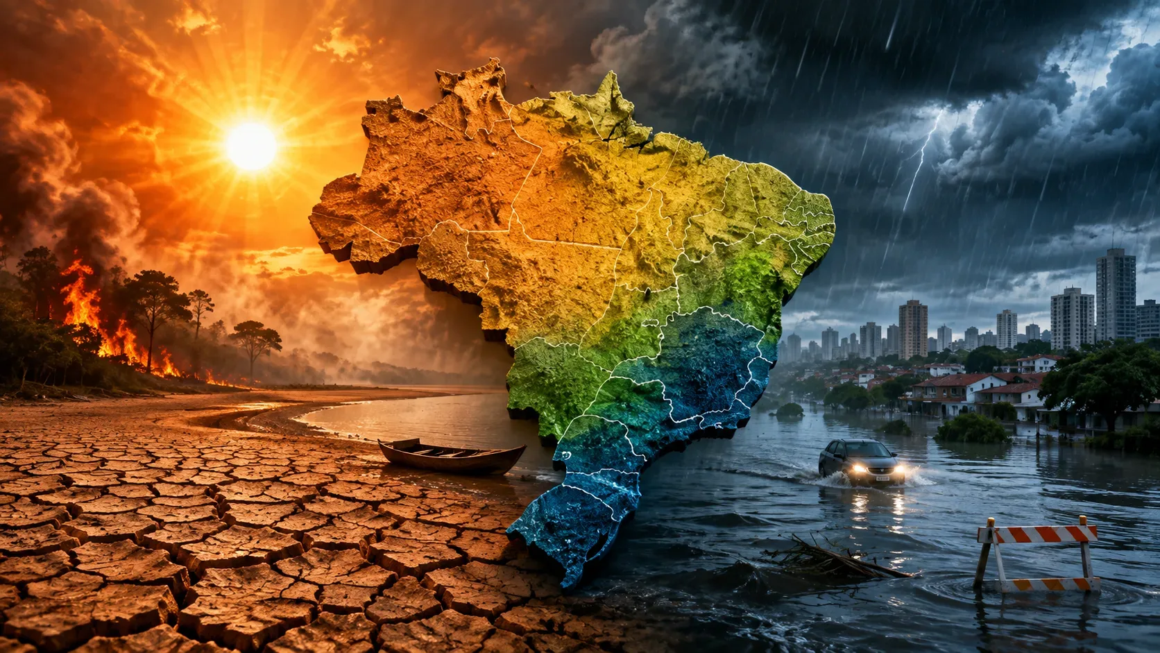
How the 2026 El Niño could affect each region of Brazil
| Region | Highest Attention Trend | Possible effects on the routine |
|---|---|---|
| North | Less rain in parts of the Amazon, high temperatures, drought and greater risk of fires | Smoke, low air quality, gradual reduction in river levels, navigation difficulties and pressure on communities dependent on river transport |
| Northeast | Below average rainfall in inland areas and above normal temperatures | Increased water consumption, stress on pastures and crops, intense heat and localized pressure on reservoirs |
| Midwest | Heat, low humidity and greater risk of fire; less uniform rainfall behavior | Thermal discomfort, smoke, greater need for irrigation and attention when planting the next crop |
| Southeast | More variable rainfall, dry periods and high temperatures | Higher energy consumption for air conditioning, localized pressure on supply and risk of storms between heat intervals |
| South | Greater probability of above-average rain | Flooding, floods, road interruptions, saturated soil and agricultural problems associated with excess moisture |
Regional indications are based on the historical behavior of El Niño and available seasonal forecasts. The Midwest and Southeast, especially, can show great internal variation. The same state can have excessive rain in one area and drought in another.
North: the most visible risk may come from dry rivers and smoke
In the Amazon, a prolonged dry season, combined with heat and low humidity, favors the spread of fires. Reduced rainfall in headwaters may also appear later in river levels, because there is a lag between precipitation and its effects across the basin.
In July 2026, the Madeira and Xingu rivers had already entered their natural low water period. This did not mean, at that time, a generalized crisis, but it increased the importance of monitoring in the following months.
For those who live in areas dependent on rivers, the impact may appear in the price and availability of products, school transport, access to health services and movement between communities.
Northeast: less rain does not mean that the entire territory will be dry
The influence of El Niño usually reduces rainfall in parts of the North and Northeast, but the result changes depending on location and season. In the second half of 2026, the main concern is the combination of irregular rain, heat, increased evaporation and pressure on pastures and rainfed agriculture.
The situation with reservoirs is also unequal. On July 27, 2026, the 377 reservoirs monitored by ANA in the Northeast and Minas Gerais were, together, at approximately 52% of capacity, but the state percentages varied significantly.
Therefore, there is no basis for announcing national rationing. Water risk must be assessed by municipality, basin and supply system.
Midwest: heat and fire could arrive before changes in rain
The relationship between El Niño and precipitation in the Midwest is less direct than in the North or South. The most consistent trend is for high temperatures, especially during spring and summer.
At the end of winter and beginning of spring, heat reduces air humidity and increases vulnerability to fires. Areas of greatest attention include Mato Grosso, Rondônia, Acre, southern Amazonas, southern Pará and parts of Matopiba.
In agriculture, the effect is not entirely negative. Drier weather can favor certain crops, while excessive heat and lack of humidity harm pastures, soil preparation and implementation of the following crop.
Southeast: the biggest certainty is the heat; the rain tends to be more irregular
The effects of El Niño on precipitation in the Southeast are quite variable. Changes in circulation can displace rain systems, increase dry intervals in some areas and favor precipitation in others.
The trend of above-average temperatures is more consistent. This could result in more frequent or prolonged heat waves, increased household electricity consumption, and greater demand for water.
At the end of July 2026, ANA observed that the drought in the Southeast was more extensive and intense than in June 2023. At the same time, strategic reservoirs in other regions remained in a predominantly normal situation, showing that there is no single water scenario for the country.
South: the risk lies in the concentration and persistence of rain
In the South, El Niño usually favors above-average rain and greater passage of weather systems. Depending on the atmospheric combination, storms, floods, floods and long periods of waterlogged soil may occur.
The seasonal forecast alone does not determine that there will be a flood. The official Brazilian bulletin highlights that above-average rainfall does not imply an immediate increase in the risk of landslides and floods. The risk increases when the soil remains wet and subsequently receives episodes of intense precipitation.
In daily life, this can mean more road disruptions, flood damage, transportation delays and the need to follow municipal alerts even during seemingly quiet times.
The most likely impacts on your life
1. More hot days and greater physical exhaustion
The most far-reaching effect tends to be the increase in temperatures. Prolonged heat affects sleep, work performance, concentration, exercise and food preservation.
The elderly, children, pregnant women, people who work outdoors and individuals with heart, respiratory or kidney diseases require special attention. Signs such as weakness, dizziness, headache, nausea and cramps warrant health evaluation. Confusion, convulsions, or loss of consciousness during intense heat may indicate a medical emergency.
During heat alerts, recommendations include drinking water regularly, wearing light clothing, reducing outdoor activities during the hottest times and seeking cooler environments. Medications should not be changed without professional guidance.
2. Smoke even far from the fire
Smoke can travel long distances and reach cities without nearby fires. Fine particles present in this material penetrate deeply into the respiratory system and can aggravate lung and cardiovascular diseases.
When air quality is poor, the Ministry of Health recommends:
- avoid intense exercise and exertion outdoors;
- remain in environments protected from smoke;
- drink water regularly;
- keep prescription medications available;
- wear a well-fitting N95, PFF2 or P100 mask when it is necessary to go out.
High filtration masks help against particles, but are not a substitute for reducing exposure.
3. Potentially higher energy bill, but not through an automatic mechanism
More frequent use of fans and air conditioning units can increase individual consumption. This does not mean, in itself, that electricity rates will increase because of El Niño.
The situation of the reservoirs is one of the relevant elements for the electrical system. On July 27, 2026, storage in the reservoirs of the National Interconnected System was at 75.1% of useful capacity, the second highest value recorded for that date since 2015.
This framework provides a relatively favorable starting condition, but does not guarantee that all basins will remain comfortable. Rain, demand, plant operation and regulatory decisions will continue to determine the situation.
4. Water: local risk greater than a uniform national crisis
Droughts can reduce flows, make capture difficult and increase treatment costs. Intense rains, on the other hand, can contaminate water sources, damage networks and temporarily interrupt water supply.
The decisive point is local. Residents should monitor the sanitation company, the reservoirs that serve their city and municipal guidelines, instead of drawing conclusions from national maps.
Until the end of July 2026, strategic basins such as São Francisco, Tocantins and Paranapanema remained predominantly in the normal operating range. This did not eliminate specific situations, such as systems under alert or regions where drought was intensifying.
5. Food may fluctuate, but there is no forecast for a general increase
The agricultural impact will be mixed. Dry weather can benefit some crops, while heat, drought or excess rain can reduce productivity, increase plant diseases and make transportation difficult.
In the South, winter crops may receive more moisture, but also face a higher incidence of fungal diseases. In the Midwest, some crops may be favored by dry weather, while pastures and subsequent planting are more vulnerable to heat and lack of water.
The possible price increase is, therefore, an indirect consequence and not a certainty. It will depend on the culture, the producing region, stocks, transport, exchange rate and the international market. There is no basis for saying that “all foods will become more expensive because of El Niño”.
6. Travel, work and commitments can be affected by local extremes
In the South, episodes of intense rain can interrupt highways, airports and urban services. In the Amazon, low rivers can make navigation difficult. In hot and smoky areas, sporting activities, outdoor work and events may require time changes.
The seasonal forecast is used for planning. To decide on a specific trip or activity, you need to consult the short-term forecast and local alerts in the previous hours or days.
What the 2026 El Niño does not allow us to say
It is not possible to conclude, just by classifying the phenomenon, that:
- a certain city will have a flood;
- there will be drought in all states in the Northeast;
- the entire South will be continually under rain;
- there will be a lack of water or energy throughout Brazil;
- all foods will rise in price;
- summer will be equally hot in all municipalities;
- every storm, fire or heat wave will have been caused exclusively by El Niño.
The phenomenon changes the climate background. The attribution of a specific event requires subsequent analysis, using meteorological data and proprietary models.
How to prepare without scaremongering
Follow alerts that really fit your location
Register the zip code of your residence, work and vulnerable family members in the Civil Defense system. To receive SMS alerts, send your zip code to 40199. There is also support via WhatsApp on the number (61) 2034-4611 and via the contact “Defesa Civil Alertas” on Telegram.
Build a heat plan
Check which rooms in the house remain cooler, keep water available and rearrange exercise, commuting and outdoor tasks for cooler times.
People who live alone, the elderly and patients with chronic illnesses should have defined support contacts.
Prepare for smoke
Those who live in a fire region can keep PFF2 or N95 masks in an accessible place, monitor air quality and review the respiratory disease control plan with a healthcare professional.
Reduce vulnerability to heavy rainfall
Clean gutters and drains, check for infiltrations, avoid storing documents and equipment directly on the floor and know safe routes out of areas subject to flooding.
Never cross a flooded road without guidance from authorities, even if the water appears shallow.
Observe water and energy by local indicator
Follow the sanitation company and distributor in your region. There is no reason for excessive purchases or improvised storage of fuels and large volumes of water.
Useful planning is moderate: reduce waste, fix leaks, overhaul equipment, and anticipate increased electricity consumption during heat waves.
Update information monthly
Intensity forecast and impact maps may change. NOAA's next monthly discussion was scheduled for August 13, 2026, and Brazilian bodies maintain periodic bulletins on rain, rivers, reservoirs, agriculture and disasters.
After all, what is the real impact?
The “Super El Niño” is not a single disaster on the way. It is a scenario of more unbalanced climate probabilities, with more widespread heat, risk of drought and smoke in the center-north and greater possibility of persistent rain in the South.
For some families, the first effect will appear on the energy bill. For others, in smoke, lack of rain, river levels, prices of certain products or storm warnings.
The most efficient attitude is not to try to predict each extreme months in advance. It means monitoring local conditions, protecting the most vulnerable people and transforming seasonal forecasts into simple decisions: knowing where to consult alerts, adapt schedules, reduce exposure to heat and smoke and prepare the home for the region's predominant risk.
Save this guide and review your city's forecast throughout the spring and summer, when the 2026 El Niño could reach its most intense phase.