Short answer: there is no solid cartographic or geological evidence that the 1513 Piri Reis map shows the coast of an ice-free Antarctica. The document is authentic and extraordinary, but the “Antarctic” reading is a modern interpretation applied to a strip of land drawn at the southern edge of the surviving fragment. When the map is read as a product of early sixteenth-century cartography — with combined sources, distortions, gaps, and a still-hypothetical idea of southern lands — the supposed anomaly no longer requires a lost civilization or a prehistoric survey.
That does not diminish the map’s importance. On the contrary, what makes it valuable is precisely the way an Ottoman cartographer brought together European, Islamic, and nautical information about the Atlantic and the Americas only a few decades after Columbus’s voyages.
What survives of the 1513 map
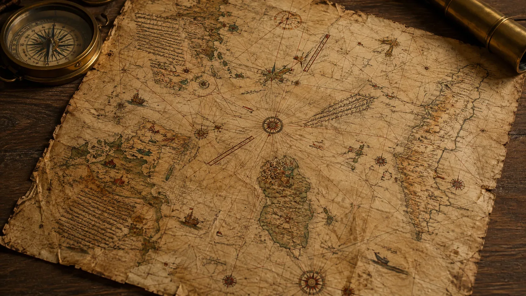
The map attributed to Piri Reis was found in the library of Topkapı Palace in Istanbul in 1929. According to the documentation submitted by Türkiye to UNESCO’s Memory of the World programme, the surviving fragment is a portolan-style chart with compass roses, rhumb lines, illustrations, and inscriptions. It shows parts of the western coasts of Europe and Africa, Atlantic islands, the Caribbean, and the eastern coastlines of the Americas.
The UNESCO nomination form for the map highlights two points that matter to this discussion: only part of the original map survives, and the work was compiled from many sources. Piri Reis records that he consulted earlier charts and that one of them was connected with Columbus’s voyages. That makes the map a sophisticated cartographic compilation, not a uniform survey produced by a single expedition.
Where the “ice-free Antarctica” story came from
The identification of the map’s far south with Antarctica did not come from Piri Reis. It became well known in the twentieth century and gained wide exposure through Charles H. Hapgood, especially in the 1966 book Maps of the Ancient Sea Kings. The catalogue of the Smithsonian Libraries and Archives records the book and its argument about ancient maps and an advanced Ice Age civilization.
Hapgood interpreted part of the southern coastline on the map as a representation of Antarctic regions without their modern ice cover. To explain how a chart from 1513 could contain such information, he proposed that Piri Reis had inherited data from much older maps produced by an unknown civilization. The idea was later popularized in mystery literature, “ancient astronaut” narratives, and alternative history.
The problem is that the conclusion first depends on assuming that the southern strip is Antarctica. That is precisely the point challenged by cartographic scholarship. The University of Georgia Press description of Gregory C. McIntosh’s dedicated study of the 1513 map summarizes his conclusion: the popular interpretation that the map depicts Antarctica is rejected as a misreading of the document.
What the southern strip shows when the map is read in context
1. The coastline continues from South America
On the surviving fragment, the American coastline runs southward and then curves east along the lower edge. It does not appear as a clearly separate polar continent. To turn it into Antarctica, the map’s geometry has to be reinterpreted, sections have to be shifted, and separations have to be assumed that the drawing itself does not explicitly show.
A simpler cartographic reading is that the area combines a distorted or extended version of southern South America with conventions about a large southern land. Charts of the period should not be compared with a modern map as if distances, projections, and orientations were equivalent: Piri Reis was combining sources of different quality and scale on a limited physical surface.
2. The inscriptions themselves do not describe an Antarctic environment
Annotations associated with the southern lands attribute information to Portuguese sailors and mention features incompatible with an observational description of Antarctica, including heat and large snakes. That does not mean every animal drawing is a literal zoological record — Renaissance maps mixed geographical information, travelers’ reports, and marvelous elements — but it strongly weakens the idea that the coast was copied from an accurate survey of an icy continent.
3. “Terra Australis” was not the same thing as a mapped Antarctica
UNESCO places the map among the earliest works to show Terra Australis. In the early sixteenth century, however, a “southern land” could be a hypothetical geographical construction inherited from ancient and medieval traditions rather than the result of a circumnavigation or measured survey of the real Antarctic continent.
That distinction is crucial: seeing land drawn south of the Atlantic is not enough to conclude that the cartographer knew the physical shape of Antarctica. Historical maps often combine observed coastline, estimated coastline, and supposed land.
| Claim | What the document actually allows us to say |
|---|---|
| “The map shows Antarctica.” | There is a landmass at the far south, but identifying it as Antarctica is disputed and is not required by the drawing. |
| “The coast appears without ice.” | The map is not a subglacial survey. The resemblance to an ice-free Antarctic coastline depends on selected adjustments and matches. |
| “Piri Reis had a prehistoric source.” | He did use earlier maps, but that does not demonstrate the existence of a prehistoric Antarctic survey. |
| “The map is fake or worthless.” | It is neither. It is an authentic and important document in the history of cartography and early representations of the New World. |
The geological problem with a “recently ice-free” Antarctica
Even if cartography were set aside, the chronology of Antarctic ice creates another obstacle for the popular version of the myth. In 2024, the British Antarctic Survey summarized new evidence indicating that permanent glaciation of Antarctica began about 34 million years ago, first in the east of the continent, with later expansion toward the west.
Antarctic ice cover has varied greatly over geological time, and different sectors have advanced and retreated. That does not justify turning Antarctica into a recently ice-free continent at a time when humans could have surveyed it in detail. The thesis of an “ice-free” Antarctic coastline mapped by an Ice Age civilization therefore has to overcome not only problems of cartographic identification, but also a geological chronology measured in millions of years.
Does the date 1513 make the map “impossible”?
No. The map is impressive because it incorporates geographical news that was very recent in its own time. UNESCO emphasizes that it preserves one of the earliest cartographic records of Columbus’s voyages and early information about Brazil. That is remarkable, but it fits within a world in which nautical charts, reports, and copies circulated among early sixteenth-century mariners.
Antarctica, by contrast, entered observation-based cartography centuries later. The Australian Antarctic Program summarizes that the continent appears to have been sighted for the first time in 1820. That time gap explains why an alleged Antarctica on a 1513 map attracts attention, but it does not prove that Antarctica is actually there: the decisive question remains the correct identification of the coastline.
So what does the Piri Reis map actually represent?
What can be stated with confidence is that the 1513 fragment is a cartographic synthesis of the Atlantic made during a period of rapidly expanding European and Ottoman knowledge of the New World. It combines information from different origins, preserves echoes of cartography associated with Columbus, depicts the coast of Brazil, and includes at its southern edge a land whose shape and meaning reflect the limitations and conventions of the period.
There is not enough basis to call that strip an accurate reproduction of ice-free Antarctica. The more cautious interpretation is to treat it as a combination of distorted South American geography, incomplete information, and conceptions of a southern land. Historians can still debate the exact identification of particular segments; that uncertainty is very different from proof of prehistoric Antarctic knowledge.
How to read the map without falling into two opposite errors
- Error 1: treating it as evidence of impossible knowledge. Without first demonstrating the geographical match, the lost-civilization hypothesis merely adds an extraordinary explanation to an already weak identification.
- Error 2: dismissing the map as mere fantasy. The document is authentic, sophisticated, and historically valuable. Its mistakes and mixed sources are part of what makes it important.
- Better reading: separate recognizable coastline, information from inscriptions and declared sources, cartographic conventions, and modern interpretation.
Conclusion
The Piri Reis map does not provide good evidence that an ice-free Antarctica was known before recorded history. The famous reading depends on identifying an ambiguous coast as Antarctic and then building a chain of hypotheses to explain that identification. The documentary context points to something less spectacular but more interesting: a 1513 chart built from multiple traditions, carrying new information about the Americas, inevitable distortions, and a southern representation that belongs to the cartographic world of its time.
Sources and further reading
- UNESCO — The Piri Reis World Map (1513)
- UNESCO — Nomination form for the Memory of the World Register
- University of Georgia Press — Gregory C. McIntosh, The Piri Reis Map of 1513
- Smithsonian Libraries and Archives — Charles H. Hapgood, Maps of the Ancient Sea Kings
- British Antarctic Survey — The dawn of the Antarctic ice sheets