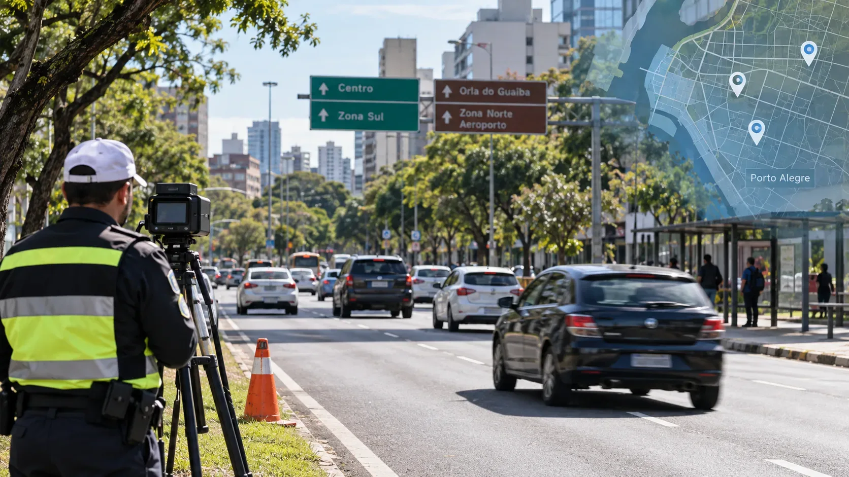
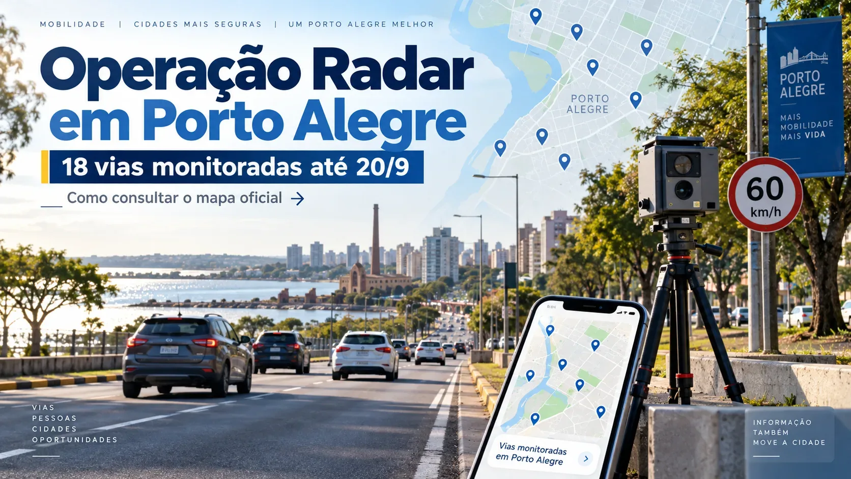
EPTC's Radar Operation runs in Porto Alegre from September 14 to 20, 2026 and covers 18 roads. Enforcement uses portable speed measurement equipment and may take place in the morning, afternoon and evening. For drivers planning a trip across the city, the key is to distinguish the weekly road list from the most up-to-date equipment location: EPTC publishes the corridors included in the operation and directs the public to the EPTC Transparente map, as well as Waze.
Which 18 roads are monitored through September 20
The official notice from the Porto Alegre city government lists 17 avenues and one street for this week's operation. The local road names below are kept in Portuguese, as published, so they are easier to find in maps and navigation apps.
| # | Road |
|---|---|
| 1 | Avenida Assis Brasil |
| 2 | Avenida Baltazar de Oliveira Garcia |
| 3 | Avenida Bento Gonçalves |
| 4 | Avenida Borges de Medeiros |
| 5 | Avenida Dom Pedro II |
| 6 | Avenida Diário de Notícias |
| 7 | Avenida Edgar P. de Castro |
| 8 | Avenida Edvaldo Pereira Paiva |
| 9 | Avenida Ernesto Neugebauer |
| 10 | Avenida Ipiranga |
| 11 | Avenida Juca Batista |
| 12 | Avenida Nilo Peçanha |
| 13 | Avenida Padre Cacique |
| 14 | Avenida Plínio Kroeff |
| 15 | Avenida Salvador França |
| 16 | Avenida Senador Tarso Dutra |
| 17 | Avenida Sertório |
| 18 | Rua Pereira Franco |
What the road list tells you, and what it does not
The weekly list confirms the roads where the Radar Operation may be active between September 14 and 20. It does not provide one fixed address for each corridor or assign a permanent time slot to each road. EPTC itself states that enforcement takes place at different points and during the morning, afternoon and evening shifts.
In practice, the list works as a guide to the corridors covered during the week, but it should not be read as a fixed schedule for equipment remaining in the same place throughout the period. Before driving, it is useful to check the latest information through the channels identified by EPTC.
How to check the official EPTC Transparente map
The official map channel identified for consultation is EPTC Transparente. According to EPTC, the platform brings together the city's electronic speed measurement devices, including portable radars, electronic speed humps and speed controllers.
- Open EPTC Transparente in your browser.
- Look for the view related to electronic speed measurement devices.
- Find the area or road you plan to use.
- Check the type of device shown on the map and whether a portable radar is indicated along the route.
- Check again close to your departure time, especially if your route includes one of the 18 roads in the weekly operation.
This is useful because the weekly notice lists the roads covered, while the map is the tool identified by EPTC for viewing speed measurement devices across the city.
How to use Waze as a supporting tool
EPTC also says that operation points appear in Waze identified as mobile radar, with the maximum permitted speed for the road. For drivers who already use the app during their trip, this layer can help place enforcement information in the context of the route.
For an institutional check, however, EPTC Transparente is the consultation channel identified on the official city portal. Waze can support navigation and route awareness, without replacing attention to the signs installed on the road itself.
What to check before leaving
- See whether your route uses one of the 18 roads. The weekly list helps identify the main corridors included in the operation.
- Check the map close to departure time. Because enforcement takes place at different points and shifts, checking near the time of travel reduces the chance of relying on stale information.
- Follow posted speed signs. The valid limit is the one indicated for each road segment.
- Use apps as a complement. According to EPTC, Waze may show mobile radar and the speed limit, but driving must follow road signs and traffic rules.
How long this schedule is valid
This list applies to the Radar Operation from September 14 to 20, 2026. Because it is a weekly schedule, it is time-sensitive and may be replaced by a new list after the period ends. To read the publication behind this list, see the official Porto Alegre city government notice.
Quick takeaway for drivers
If you will be driving in Porto Alegre through September 20, use the list of 18 roads to identify the corridors included and check the most current point information in EPTC Transparente before leaving. Enforcement may take place in the morning, afternoon or evening, and Waze may also display the points as mobile radar. The final reference while driving remains the posted speed limit for each road segment.