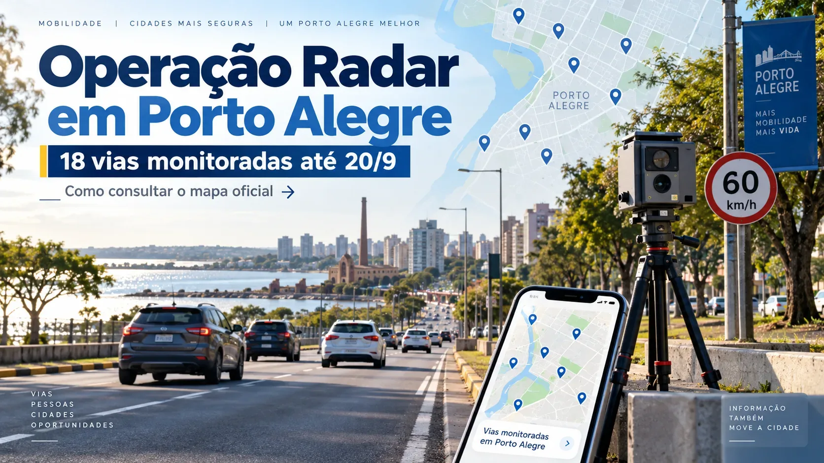
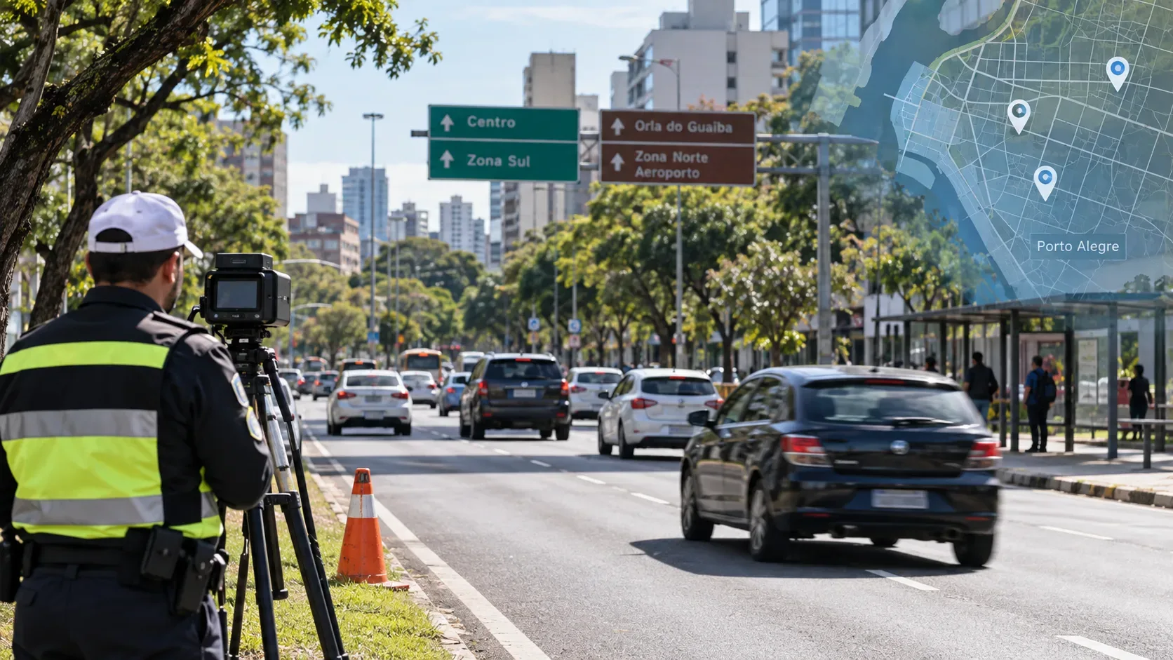
From Monday, September 14, through Sunday, September 20, 2026, Porto Alegre's Public Transport and Circulation Company (EPTC) scheduled its Radar Operation on 18 roads across the city. Enforcement uses portable speed-measuring equipment and may take place in the morning, afternoon, and evening. The weekly list was published by the city government on September 13.
The 18 roads with mobile speed enforcement from September 14 to 20
| # | Road |
|---|---|
| 1 | Avenida Assis Brasil |
| 2 | Avenida Baltazar de Oliveira Garcia |
| 3 | Avenida Bento Gonçalves |
| 4 | Avenida Borges de Medeiros |
| 5 | Avenida Dom Pedro II |
| 6 | Avenida Diário de Notícias |
| 7 | Avenida Edgar Pires de Castro |
| 8 | Avenida Edvaldo Pereira Paiva |
| 9 | Avenida Ernesto Neugebauer |
| 10 | Avenida Ipiranga |
| 11 | Avenida Juca Batista |
| 12 | Avenida Nilo Peçanha |
| 13 | Avenida Padre Cacique |
| 14 | Avenida Plínio Kroeff |
| 15 | Avenida Salvador França |
| 16 | Avenida Senador Tarso Dutra |
| 17 | Avenida Sertório |
| 18 | Rua Pereira Franco |
The table above reproduces the roads announced by EPTC for the week. In the official notice, “Edgar P. de Castro”, “Nilo Peçanha”, “Salvador França”, and “Senador Tarso Dutra” appear in abbreviated form or without the word “Avenida”; the names were only standardized here for readability, without changing the roads listed.
What the weekly list tells you — and what it does not
The weekly notice identifies the roads where the Radar Operation may take place, but it should not be read as a schedule for one fixed location on each avenue. EPTC itself says the operation is carried out at various points in the city and in different time periods, using portable radars whose locations are defined from technical studies.
In practical terms, knowing the road is useful for planning, but the observed enforcement location at a given moment may be on another section of the same avenue or street. The applicable speed limit remains the one shown on road signs.
How to check locations on the official map
To check the locations of electronic speed-measuring devices, EPTC directs the public to EPTC Transparente. The map includes portable devices, fixed speed reducers — commonly known as electronic speed humps — and fixed speed-control cameras.
- Open the EPTC Transparente portal.
- Look for the section on electronic speed meters or traffic enforcement.
- Use the map to locate devices in the area or road corridor you are interested in.
- Compare the map with the current weekly list, because the September 14–20 notice has a short validity period.
The EPTC page on the Porto Alegre city website also identifies EPTC Transparente as the public platform for mobility data and indicators.
How the enforcement points appear in Waze
According to EPTC, locations are also provided in Waze. In the app, the devices appear identified as “radar móvel” (mobile radar), with the maximum permitted speed indicated. As with any dynamic navigation information, it is best used as an aid: the road signs you encounter remain the primary reference while driving.
Why you need to check the date on this list
The list in this article applies specifically to September 14–20, 2026. EPTC publishes new lists for other weeks, and the set of roads can change. After September 20, the safest approach is to check a more recent official city publication or the EPTC Transparente map before using this list as a reference.
Official source
The list of 18 roads, the operating period, and the guidance on EPTC Transparente and Waze are in EPTC's September 13, 2026 publication.