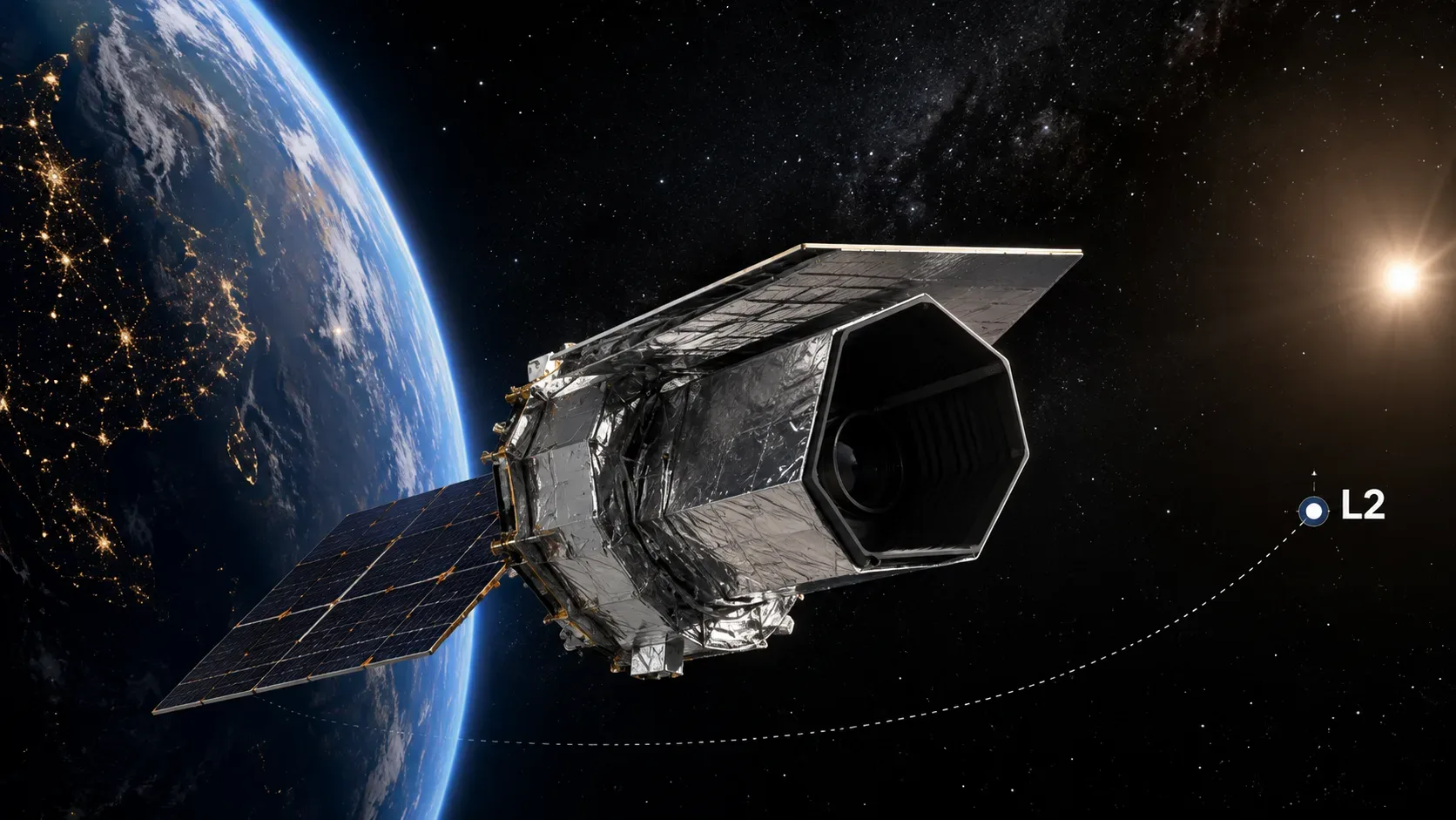
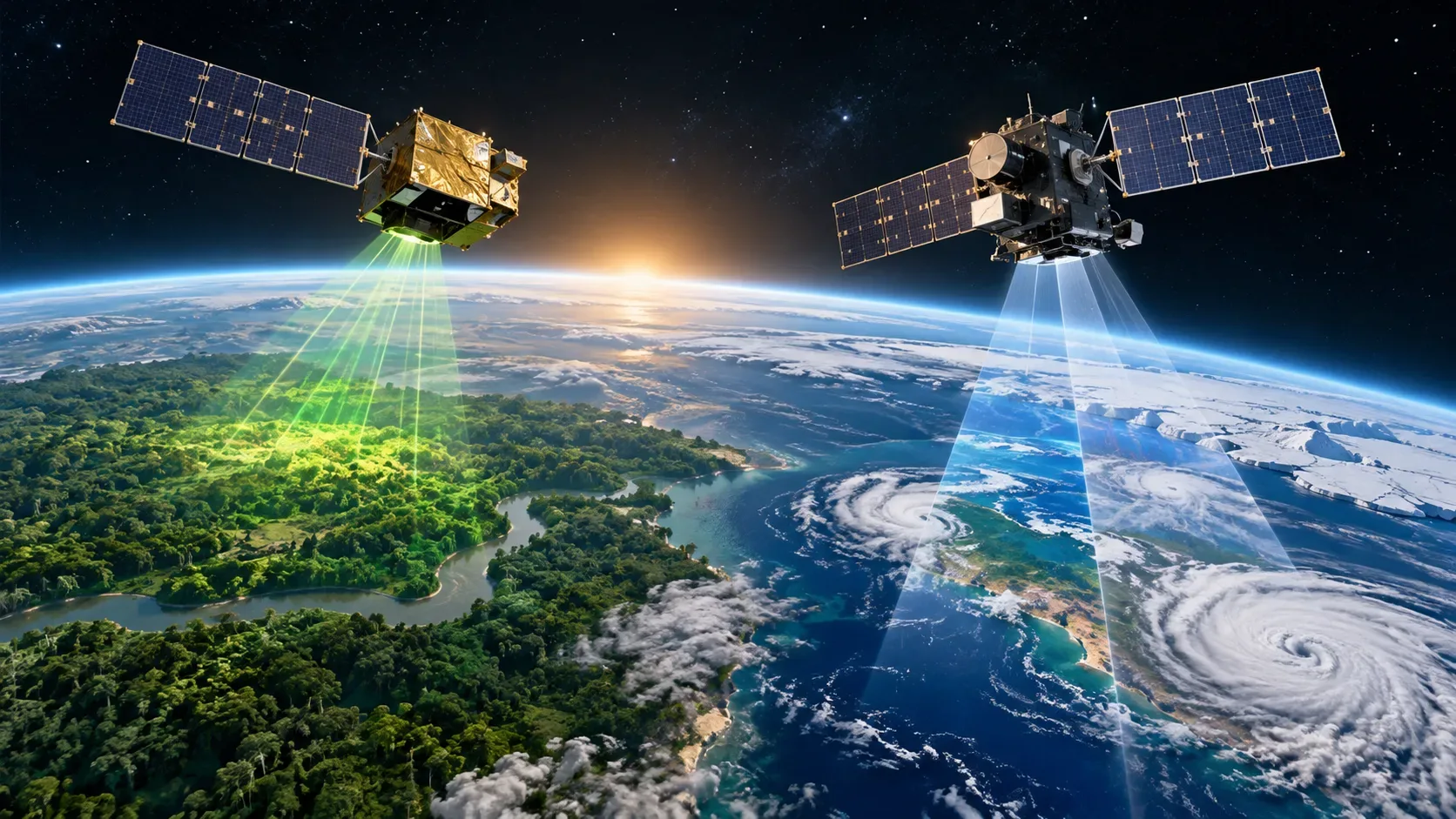
FLEX and Copernicus Sentinel-3C are scheduled to launch together on Vega-C flight VV30. ESA lists liftoff at 03:21 CEST on 15 September 2026, Central European Summer Time. For viewers in Brazil on Brasília time — including Maceió — and for local time in French Guiana, that corresponds to 22:21 on 14 September. The different calendar date is simply a time-zone effect.
The two satellites share a rocket, but they do not make the same measurements. FLEX was built to detect the extremely faint fluorescence emitted by plants during photosynthesis. Sentinel-3C, by contrast, continues an operational mission that observes the oceans, land, ice and atmosphere with several instruments. The combination is valuable because it places a highly specific measurement of vegetation functioning alongside information on temperature, surface colour and cover, clouds, aerosols, water vapour and topography.
Why are FLEX and Sentinel-3C launching on the same Vega-C?
There is an engineering reason and a scientific reason to consider the two missions together. From a launch perspective, Vega-C can carry more than one payload when the appropriate adapters are used. On this flight, FLEX and Sentinel-3C were installed inside the fairing with the secondary Vespa adapter: FLEX sits in the lower section and Sentinel-3C in the upper section, a configuration that allows Sentinel-3C to be released first.
ESA describes Vespa as the system that enables the rocket to carry multiple satellites on a single launch. That explains the shared-flight logistics without implying that either satellite physically depends on the other to operate.
The scientific link comes later. FLEX was designed to operate in tandem with a Sentinel-3 satellite, obtaining near-simultaneous measurements. While FLEX records the fluorescence signal associated with photosynthetic activity, Sentinel-3 data help characterise atmospheric and surface conditions at the time of the observation. This combination improves interpretation of the vegetation signal.
Official sources: ESA on Vega-C integration and the Vespa adapter and ESA on FLEX flying in tandem with Sentinel-3.
Satellite → instrument → data → use
| Satellite | Instrument | What it measures | What it is used for |
|---|---|---|---|
| FLEX | FLORIS — Fluorescence Imaging Spectrometer | Faint fluorescence emitted by vegetation during photosynthesis | Map photosynthetic activity, vegetation health and stress, and study links between plants, carbon and water |
| Sentinel-3C | OLCI — Ocean and Land Colour Instrument | Ocean and land colour in 21 spectral bands | Monitor aquatic ecosystems, water quality, land cover, vegetation, aerosols and clouds |
| Sentinel-3C | SLSTR — Sea and Land Surface Temperature Radiometer | Sea- and land-surface temperature; it also has dedicated fire channels | Track temperature, fires, ocean forecasting and climate variables |
| Sentinel-3C | SRAL — Synthetic Aperture Radar Altimeter | Sea-surface height, waves, ocean-surface wind and topography of ice and inland waters | Measure sea level, ice, rivers and lakes and support studies of ocean circulation and climate |
| Sentinel-3C | MWR — Microwave Radiometer | Atmospheric-column water vapour used to correct altimetry | Improve the accuracy of radar-altimeter measurements |
Sentinel-3 instruments work in a complementary way. ESA groups OLCI, SLSTR, SRAL and MWR as the mission’s four main instruments and explains that its products combine colour, temperature and surface-topography information. See the official Sentinel-3 instruments page.
What FLEX actually sees
When a plant absorbs light for photosynthesis, the incoming energy does not follow a single path. Some is used in photochemical reactions, some is dissipated as heat and a very small fraction is re-emitted as fluorescence. This glow is faint and invisible to the human eye, but it carries information about how vegetation is functioning.
The FLORIS instrument was developed specifically to detect this signal from space. According to ESA, FLEX is expected to produce global vegetation-fluorescence maps at a resolution of 300 × 300 metres. The intensity and characteristics of the signal vary with plant status and environmental conditions, allowing researchers to investigate photosynthetic activity and stress.
This makes FLEX different from a mission that simply shows where vegetation looks greener. Its goal is to bring orbital observation closer to the process of photosynthesis rather than only the appearance of vegetation cover. More details are available on the official FLEX mission page.
Fluorescence is not the same as a “vegetation image”
A conventional optical image can record sunlight reflected by the surface at different wavelengths. From that reflectance, researchers can identify vegetation, estimate land cover and calculate indices associated with plant greenness or vigour. This is extremely useful, but it mainly describes how the surface reflects incoming radiation.
The fluorescence measured by FLEX is a different signal: it is a small emission of energy directly linked to the photosynthetic process. Two areas that look similar in a vegetation image may therefore not produce exactly the same fluorescence response if their physiological conditions differ.
This does not mean fluorescence replaces optical imagery or vegetation indices. The benefit comes from combining them. Information on land cover, temperature, clouds, aerosols and water vapour helps put fluorescence in context and better separate atmospheric effects, surface type and the plants’ actual condition.
What Sentinel-3C adds to the constellation
Sentinel-3C is the third satellite in the Copernicus Sentinel-3 series. Its role is to continue systematic observations of the oceans, land, ice and atmosphere, providing operational data and, for many products, information in near-real time.
OLCI observes ocean and land colour in 21 bands and is useful for tracking aquatic ecosystems, vegetation and atmospheric parameters. SLSTR measures land- and sea-surface temperature and includes channels designed for fire detection. SRAL uses radar altimetry to measure sea-surface height and the topography of ice, rivers and lakes. MWR measures atmospheric properties needed to correct altimeter observations.
Together, these instruments support applications such as ocean and weather forecasting, sea-level monitoring, water quality, sea ice, ice sheets, land cover, vegetation, fires and water resources.
How the two satellites’ data complement each other
The value of the tandem strategy becomes clearer with an example. Imagine an agricultural region showing a reduction in fluorescence. On its own, that observation suggests that photosynthetic activity may have changed, but it does not automatically explain the cause. Sentinel-3 observations made close in time can provide surface temperature, land-cover characteristics, cloud and aerosol information and other relevant variables.
Interpretation therefore does not rely on a single indicator. FLEX provides a specialised window into plant functioning; Sentinel-3 provides the broader environmental and geophysical context. That is the difference between “seeing vegetation” and trying to understand how it is functioning in a given environment.
Launch time: 15 September in Europe, 14 September in Brazil
ESA has scheduled Vega-C flight VV30 for 03:21 CEST on 15 September 2026. Because CEST is five hours ahead of Brasília time on that date, the corresponding time in Brazil is 22:21 on 14 September. ESA likewise lists 22:21 on 14 September as local time in French Guiana.
- Central Europe (CEST): 15 September 2026 at 03:21.
- Brasília/Maceió (UTC−3): 14 September 2026 at 22:21.
- French Guiana: 14 September 2026 at 22:21 local time.
As with any launch operation, the schedule can still change for technical or weather reasons. For updates close to liftoff, the main reference is ESA’s latest official launch communication.
What to watch after separation
In the Vega-C payload arrangement, Sentinel-3C sits above FLEX and is due to be released first. After orbital insertion, each mission goes through its own signal-acquisition, checkout and commissioning steps before scientific and operational data enter routine use.
The key point is that a shared launch does not turn FLEX and Sentinel-3C into one mission. They remain satellites with different goals, instruments and products. What links them is the shared launch infrastructure and, scientifically, the ability to combine FLEX’s specialised fluorescence signal with Sentinel-3’s much broader set of Earth observations.