Activating airplane mode does not automatically turn your cell phone into a device incapable of knowing where it is. The confusion arises because four different tasks are often treated as if they were one: discovering the device's coordinates, showing a map, calculating a route and receiving updated information over the internet.
GPS can provide a position without relying on internet access. Maps, routes and information such as real-time traffic have their own requirements. Furthermore, modern smartphones don't just use satellites to estimate location: Wi-Fi, cellular network, Bluetooth and sensors can also participate in the calculation.
Does airplane mode turn off GPS?
There is no safe answer based solely on the airplane icon for all cell phones. Airplane mode mainly changes wireless connections, while the actual functioning of location depends on the device, system, settings and permissions granted to the application.
GPS itself does not need the internet to perform the basic principle of positioning. Satellites send signals in a single direction, and the receiver uses this information to calculate position and time. Therefore, a GNSS receiver capable of remaining available can determine coordinates even without a data connection.
This does not mean that the experience will be the same as a fully connected cell phone. Google and Apple document that their location systems combine multiple sources. On Android with Google Play Services, for example, Location Accuracy can use GPS, Wi-Fi hotspots, cell towers, and sensors like accelerometer and gyroscope. When this improved accuracy is turned off, Google says only the device's GPS and sensors are available, which may affect availability and accuracy.
On iPhone, Location Services can also combine cellular, Wi-Fi, GPS, and Bluetooth. Apple also informs that finding all visible satellites may take a few minutes and that obstacles such as walls, tall buildings, mountains and even parts of the vehicle can impair GPS reception.
In other words: being without internet and being without a position are different situations.
Coordinates, map, route and live data are not the same thing
Separating these tasks helps you understand why an application might show the blue dot but not load a street; or display the map and still not offer certain routes.
| Task | Can it work without internet? | Main condition |
|---|---|---|
| Get coordinates | Can | GPS/GNSS or other location source must be available and authorized |
| Display the map | Can | The area must be stored on the device or downloaded for offline use |
| Calculate a route | It depends | The application must offer offline calculation for that area and modality |
| Receive live traffic and other data | In general, no | A connection capable of fetching updated information is required |
This difference explains why “my GPS works” and “my map works” do not mean exactly the same thing.
What airplane mode does with Wi-Fi and Bluetooth
It is also not correct to assume that airplane mode necessarily means “all connections disconnected until it is deactivated”.
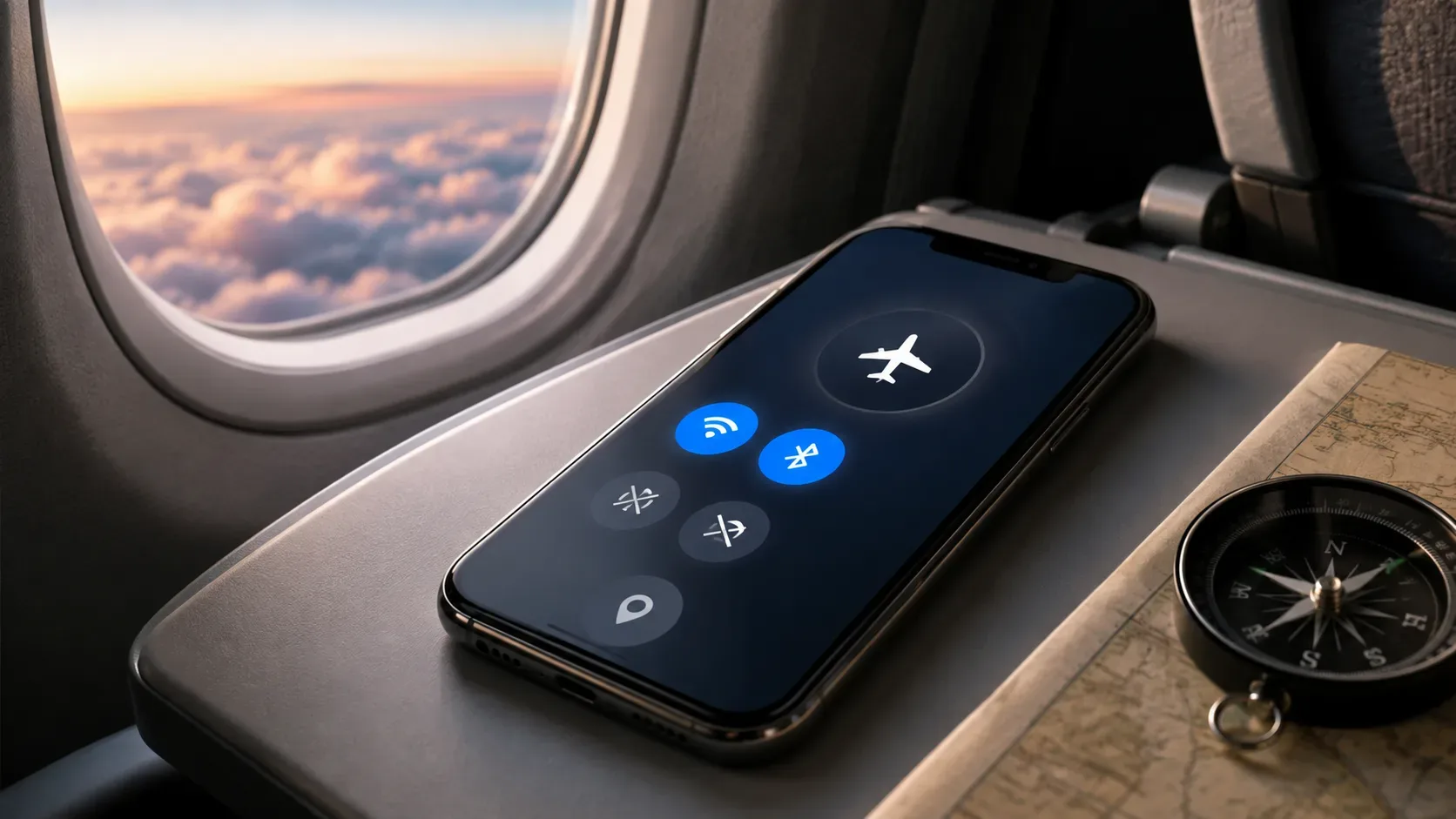
On the iPhone, Apple's current documentation states that airplane mode turns off cellular and Wi-Fi and keeps Bluetooth available. The company also allows you to use Wi-Fi and Bluetooth during airplane mode when allowed by the airline.
On Pixel phones, Google informs that Wi-Fi and Bluetooth are turned off when Airplane Mode is first activated, but can be turned on again. The device may even remember this preference during subsequent activations.
This matters for location because Wi-Fi and Bluetooth can serve as auxiliary sources. The cell phone does not necessarily need to connect to a Wi-Fi network for information about nearby networks to contribute to some location systems; on Android, there are even specific Wi-Fi and Bluetooth search controls to improve position estimation.
Why the position may take longer or become less accurate
A connected cell phone has more clues to find out where it is. It can combine satellites, nearby networks, cell towers and sensors. By removing some of these sources, dependence on the remaining sources increases.
This appears mainly where satellite reception is poor. Google highlights that auxiliary signals are especially useful indoors or near large buildings, where GPS may be unavailable or obscured. Apple also says that walls and tall buildings can block the view of satellites and cause the device to rely on cellular networks or Wi-Fi.
Therefore, putting your device in airplane mode and staying inside a building can produce a very different experience than using the same phone in an open area with a good view of the sky.
This is also the point that connects to the article “Why the GPS makes mistakes inside buildings and how the cell phone still tries to locate you”: the error does not only depend on the existence of the GPS, but on the quality of the available signals and the sources that the device can combine.
The map needs to be on the cell phone before the connection fails
Knowing latitude and longitude does not mean having streets, place names and other cartographic data stored on the device.
To use a map without internet, the application needs to have this data locally. Both Google and Apple offer download capabilities, but offline capabilities are not identical.
In Google Maps, after an area is downloaded, offline navigation can take the user to the destination when the entire route is within the saved region. The current documentation states, however, that without connection, public transport, cycling or walking routes are not available. In car navigation, there is also no traffic information or alternative routes while the device is offline.
In Apple Maps, Apple says that in supported areas, offline maps can provide turn-by-turn navigation by car, walking, biking, or public transit, as well as estimated arrival times and certain location data. The feature has existed since iOS 17, but the company itself warns that availability varies depending on the country and region.
Therefore, “I downloaded the map” does not guarantee exactly the same functions in any application.
Real-time information continues to depend on communication
There is another important difference: stored data is different from data that changes every minute.
A downloaded map may contain streets and information necessary for basic navigation. Congestion, incidents, recent changes and new route options need to reach the device somehow.
Google is explicit in informing that, during offline navigation by car, there is no access to traffic information or alternative routes.
If Wi-Fi is turned back on during airplane mode and a network is available, some of these features may work again because the phone is no longer truly offline, even though the cellular connection remains disabled. Both Apple and Google allow you to maintain or reactivate certain wireless connections in airplane mode.
How to prepare for browsing without a network
Before a trip, trail or journey through a region with poor coverage, some measures avoid confusing a lack of internet with a GPS failure:
- pre-download all the necessary area in the maps application;
- check that the saved map also covers the path to the destination, and not just the destination itself;
- keep offline maps updated before leaving;
- check if the app has permission to access the location;
- don't count on traffic, incidents or other live data without a connection;
- in closed locations or surrounded by buildings, consider that positioning may take longer or lose accuracy when auxiliary networks are not available.
The bottom line is simple: airplane mode, GPS, internet, and offline maps control different parts of the location experience. A cell phone can know your coordinates without being able to download the map; you can have a map saved without offering a certain type of route; and can navigate offline without knowing the traffic jam a few kilometers away.
Separating these functions makes it much easier to understand what actually stops working when the networks are turned off.