
You enter a shopping mall, open the map and the point that represents your position appears on the street, in the building next door or inside a huge circle. A few seconds later, he jumps to another place. This does not necessarily mean that the cell phone's GPS is faulty.
The problem is that satellite tracking works best when the device receives clear signals from the sky. Inside a building, walls, slabs, metal structures and other obstacles can block these signals or make them reach the device after reflecting off different surfaces. The cell phone then needs to work with incomplete information — and try to fill in the gaps with other technologies.
GPS needs to measure distances very accurately
GPS satellites transmit information about your position and the time of the signal. The receiver measures how long this signal took to arrive and, from that, estimates the distance to the satellites. In normal GPS operation, simultaneous measurements from four satellites allow three-dimensional position and time resolution.
The important detail is the signal travel time. A small change in this measurement already changes the calculated distance.
Outdoors, with an unobstructed view of the sky, the receiver is much better able to capture multiple signals directly. Inside a building, this geometry changes.
Walls don't just weaken the signal: they also create false paths
GPS.gov points to indoor use, blockage caused by construction, and signals reflected from walls and buildings — a phenomenon known as multipath — among the common causes of loss of accuracy.
Imagine that the signal should travel directly from the satellite to the phone. Inside a building, it can hit a facade, partially pass through a window or reflect off some structure before reaching the device.
As this path is longer, the receiver may interpret the delay as if it is further away from that satellite than it actually is. With multiple weak or reflected signals at the same time, the estimate starts to shift.
This is why it is possible to be standing still while the point on the map appears to walk alone.
So how can a cell phone still show a location?
Because the smartphone's location service does not depend exclusively on GPS.
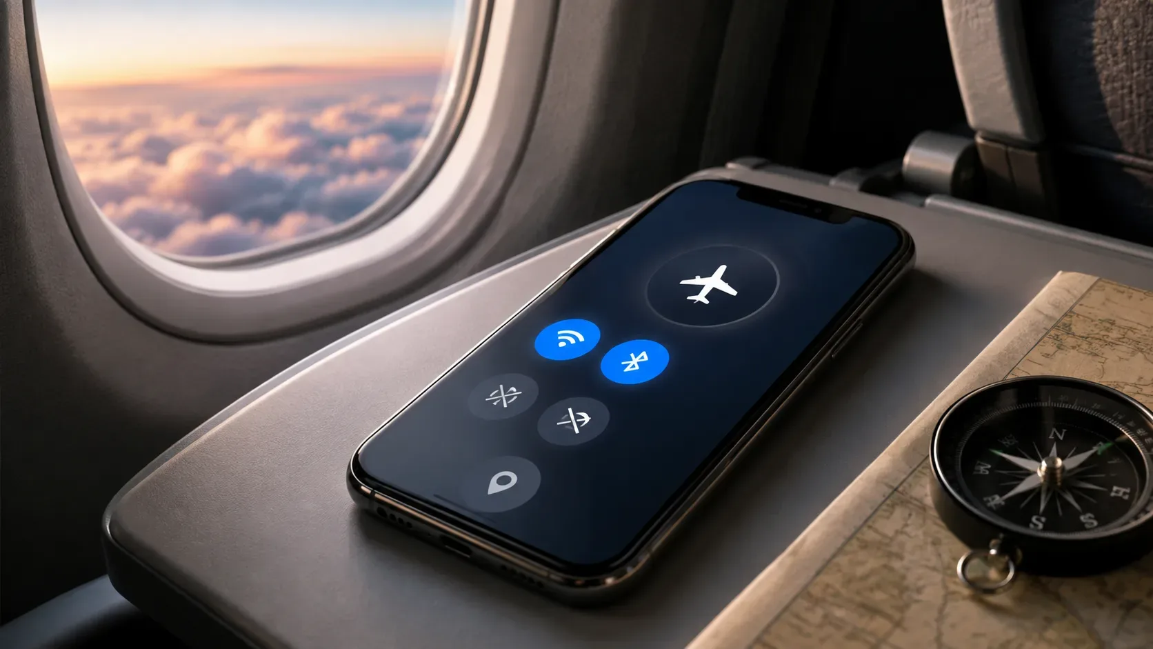
On the iPhone, Apple says that Location Services can use cellular networks, Wi-Fi, GPS and Bluetooth. When obstacles prevent a good view of satellites, the device can automatically turn to cellular networks or Wi-Fi to estimate position.
In the Android ecosystem, Google's Fused Location Provider combines different available signals and manages technologies such as GPS and Wi-Fi to deliver to the application a location estimate suitable for the requested level of accuracy. It can also provide a previously known position while new information is obtained.
In practice, some of the available clues are:
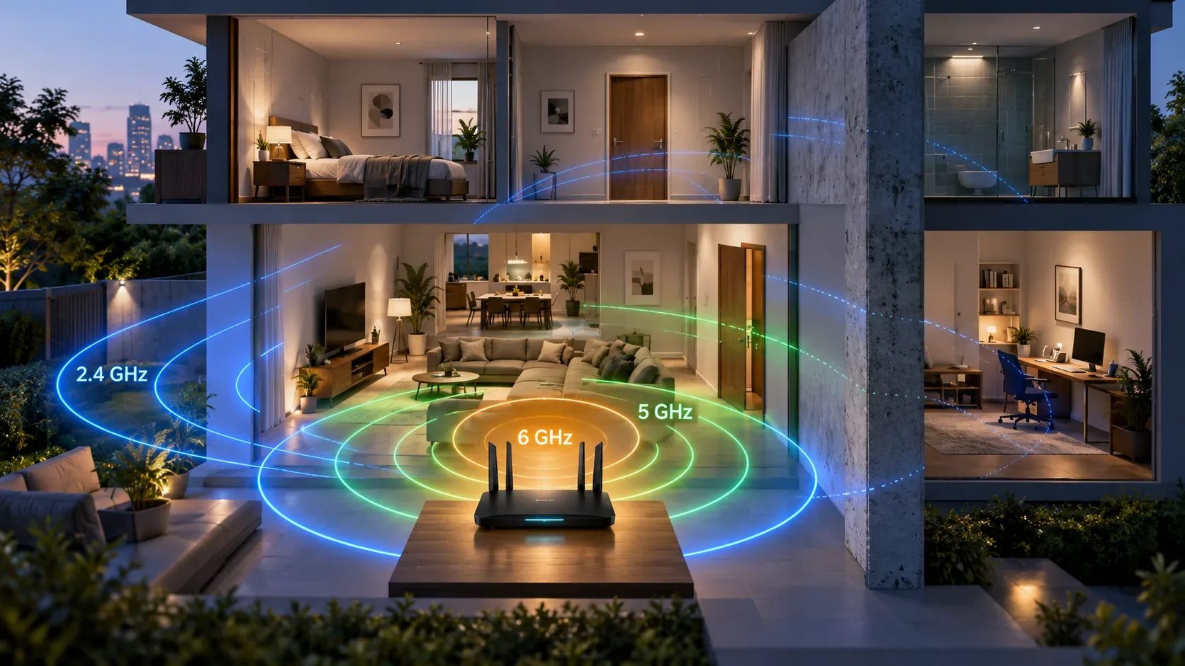
- Wi-Fi: nearby networks can act as geographic references when the system knows approximately where their access points are located.
- Cell towers: help narrow down the region the device is likely to be in, although the estimate can be much broader than a good satellite position.
- Bluetooth: in locations equipped with beacons or similar infrastructure, can provide proximity references.
- Device sensors: motion and orientation data can be combined with other information to improve estimation continuity.
- Last Known Location: While a new reliable position does not appear, an application can start from a previously obtained estimate.
This explains why turning off GPS doesn't necessarily mean your phone is completely unable to estimate where it is — and also why turning on GPS doesn't guarantee accuracy inside a building.
How can Wi-Fi help if the router doesn't have GPS?
The access point does not need to calculate its position by itself.
Apple, for example, describes a collaborative database of Wi-Fi hotspot and cell tower locations. Devices can contribute geographic information to these networks, allowing the presence of certain access points to help with location estimation.
So if the phone detects networks that the system associates with a certain region, they become clues about where the device is likely to be.
This is different from simply asking the router “what is your latitude and longitude?” Conventional localization via Wi-Fi can work with the identity and characteristics of observed networks and previously constructed bases.
There are even more specific technologies.
On Android, Wi-Fi RTT, or Round-Trip-Time, allows compatible devices to measure the distance to compatible access points. With three or more references and appropriate infrastructure, Android documentation indicates typical accuracy of 1 to 2 meters for this type of positioning. The feature has existed since Android 9, but depends on compatible hardware, access points and software; therefore, it does not represent the operation of any Wi-Fi found in a building.
Why can cell phones still make mistakes even when using all of this?
Because these technologies don't automatically turn a building into an indoor navigation system.
A cell tower can cover a large area. A Wi-Fi network may have been replaced or moved. A signal can cross a slab and be detected on more than one floor. Bluetooth depends on the presence of adequate infrastructure. Sensors help track movements, but they do not replace a reliable external reference indefinitely.
Even the map can contribute to the feeling of error. GPS.gov remembers that an apparently wrong position can also come from streets, addresses, establishments or other elements incorrectly represented on the map, and not from the receiver itself.
That's why two cell phones in the same building don't have to give exactly the same result. Device model, available signals, position within the building, settings and the service used by the application may change the estimate.
The circle around the point matters more than it seems
Map applications often indicate not only a coordinate, but also the uncertainty of that coordinate.
Apple explains that in Maps, a circle around the marker appears when the location cannot be accurately determined: the smaller the circle, the greater the estimated accuracy. Google Maps uses a similar representation and informs that the user can be anywhere in the area indicated by the light blue circle.
This changes the correct way to interpret the screen. A point in the center of a circle measuring tens of meters does not mean that the system is sure that you are at that point. It means that this is the best estimate accompanied by a relevant margin of uncertainty.
Sometimes vagueness was chosen in the settings
Not every apparent error comes from signal physics.
Mobile systems allow you to deliberately limit the location shared with an application. On iOS, you can turn off Precise Location for an app and only provide an approximate position.
On Android, there are also approximate and exact access levels. Current Android documentation makes it clear that when the user only grants approximate location, the app receives that level of accuracy even if it has requested more precise access.
So if a single app insists on showing a very vague position while others seem to work better, its permissions are also worth checking.
The perfect building to confuse a map
A difficult indoor environment brings together precisely the conditions that harm several sources at the same time: few windows, many slabs, metal structures, underground parking, weak cell phone signal and few known Wi-Fi references.
In this scenario, the phone may switch between an old position, a network-based estimate, and degraded satellite signals. The visible result is that point that moves, takes time to stabilize or appears to be on the other side of the street.
When leaving for an open area, the tendency is for satellite signals with more direct paths to become available again and the estimate to improve. Apple itself recommends a position with an unobstructed view in multiple directions to increase GPS accuracy.
If the intention is just to check if the device is working, this is a more useful test than evaluating the GPS in the center of a closed building. If the location becomes stable outdoors, poor behavior inside the building may simply reflect the normal limitations of positioning in that environment.
The blue dot, therefore, is not a perfect reading of where you are. It is the result of an estimate that changes depending on the available clues. Inside a building, the GPS loses some of its best clues — and the rest of the cell phone goes into action to produce the best possible response with what it can observe.