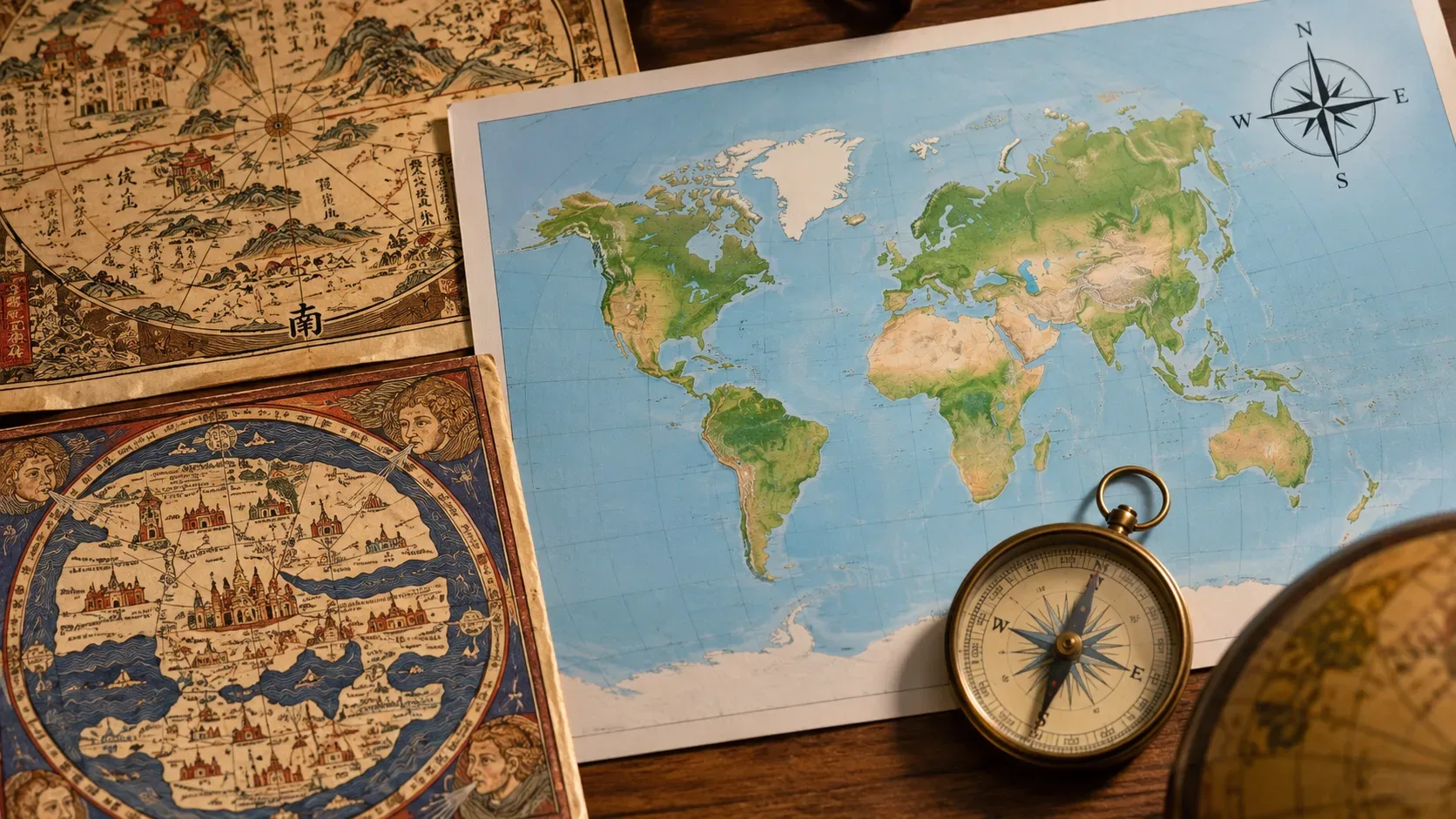
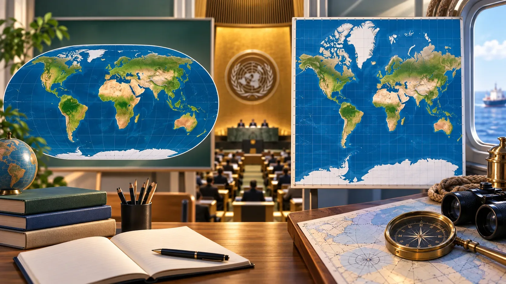
On September 4, 2026, the United Nations General Assembly adopted resolution A/RES/80/307, originating from draft A/80/L.104, on global cartographic representation. The text passed with 164 votes in favor, 1 against and 6 abstentions. In practical terms, it does not create a “mandatory official map” or ban the Mercator projection: the resolution encourages representations that better preserve the relative size of regions, including Equal Earth and other equal-area projections, especially when comparing surface area matters.
The essential difference is this: Equal Earth prioritizes area; Mercator prioritizes angles and bearings. Because there is no way to transform Earth’s curved surface into a plane without distorting some property, the right choice depends on what the map needs to do. The UN resolution mainly changes the discussion around general-purpose world maps, education and public communication; it does not make Mercator maps useless for purposes where their geometric properties remain relevant.
What the UN resolution actually changes
The adopted text, titled “Correct the map: rebalancing global cartographic representation and promoting equitable representation of the world’s regions, particularly Africa”, gives political and institutional weight to a change cartographers have discussed for decades: avoiding the Mercator projection as if it were a neutral representation of continental size.
The decision is non-binding. In other words, it does not create a legal obligation for governments, schools, technology companies or international organizations to adopt one single drawing of the planet. Instead, it recommends greater attention to area distortion and encourages equal-area projections when size comparison is relevant. The vote and the scope of the measure were reported by Reuters and recorded by the UN in the proceedings of the 114th plenary meeting of the 80th session.
There is another point that prevents an oversimplified reading: the debate itself recognizes that different projections serve different purposes. “Correcting the map” therefore does not mean choosing a perfect projection — none exists — but making clear which property is preserved and which is sacrificed.
Equal Earth vs Mercator: area, shape, direction and use
| Criterion | Equal Earth | Mercator | Practical consequence |
|---|---|---|---|
| Area | It is an equal-area projection: it preserves the relative proportions of surfaces. | Area expands progressively as latitude increases, producing strong exaggeration near the poles. | Equal Earth is better suited when readers need to compare the size of countries, continents or phenomena distributed by area. |
| Shape | It does not perfectly preserve angles or every local shape; it accepts deformation in order to preserve area. | It is conformal: it preserves local angles and, at small scales, local shapes better than an equal-area projection. | A map that is “better” for area is not automatically better for shape. |
| Direction | It does not generally turn constant-bearing routes into straight lines. | Lines of constant bearing can appear as straight lines, a property historically useful for navigation. | Mercator’s advantage is not showing the true size of continents, but simplifying certain direction and bearing problems. |
| Typical use | World maps, education, global thematic maps and comparisons where relative area matters. | Charts and applications where angular conformity and bearings are valuable; its Web Mercator variant is also widely used in digital maps. | Both projections can continue to coexist because they answer different needs. |
The PROJ documentation for Equal Earth defines it as a pseudo-cylindrical, equal-area projection designed for world maps. The Mercator documentation classifies Mercator as cylindrical and conformal and highlights that constant-bearing lines are represented as straight lines.
Why Africa and Greenland became the most cited example
The most intuitive contrast is the comparison between Africa and Greenland. Africa has approximately 14 times the area of Greenland, yet on a Mercator world map they can appear similar in size. This happens because the projection’s scale increases with latitude: regions closer to the poles are enlarged far more than regions near the Equator.
Equal Earth specifically fixes this area-proportion problem. When continents are compared on the same map, their drawn surface areas preserve the real relationship between them. That does not mean every outline becomes “undistorted”. Some shapes change because preserving area requires sacrificing other properties.
This is also the caution found in recent analysis such as Nature’s coverage: flat maps inevitably alter area, shape, distance or direction to some degree. The real question is which distortion is acceptable for the intended use.
Equal Earth is not “the true Earth” in two dimensions
The debate is often summarized by saying that Equal Earth is “more accurate”. That is only correct with a qualification: it is more faithful to relative area. No world map can preserve area, shape, distance and direction everywhere at the same time.
The change supported by the UN is therefore best understood as a better match between projection and purpose. For a classroom map that invites students to compare the size of Africa, Europe, South America and Greenland, an equal-area projection avoids a highly relevant distortion. For a problem in which angles or constant bearings are essential, a conformal projection may be more appropriate.
Equal Earth itself was introduced in 2018 by Bojan Šavrič, Tom Patterson and Bernhard Jenny as an equal-area projection visually inspired by Robinson. Its goal was not to eliminate all deformation, but to combine correct area proportions with a world-map appearance considered more familiar and balanced. The original work is available through the technical paper’s DOI.
What may change in school maps and public communication
This is where the resolution has the greatest potential for visible impact. A school atlas, infographic, textbook map or global visualization that uses Mercator without a technical need can lead readers to overestimate the dimensions of Canada, Russia, Greenland and other high-latitude regions and, by comparison, underestimate regions closer to the Equator.
Adopting Equal Earth — or another equal-area projection — makes surface comparisons more direct. That is especially useful in lessons on population, vegetation cover, climate, land use, agricultural production, biodiversity or any topic in which territorial extent is part of the reasoning.
But the best teaching practice is not simply replacing one image with another. It is explaining why the map changed: which property each projection preserves, which distortions remain and why the map’s purpose should guide the choice. This critical reading prevents Equal Earth from becoming a new supposedly “neutral” standard presented without explanation.
What does not change in navigation
The resolution does not eliminate Mercator’s historical and technical usefulness in navigation. The projection can represent constant-bearing lines as straight lines, which explains its importance in nautical charts and direction problems. Reuters explicitly reported that the resolution does not challenge Mercator’s use for maritime and aerial navigation.
This helps separate two questions that are often mixed together:
- Which map is better for comparing the size of continents? An equal-area projection such as Equal Earth is the more coherent choice.
- Which projection is useful when angles and constant bearings need to be preserved? Mercator retains properties that can be valuable in that context.
So the resolution does not declare Mercator “wrong”. It challenges the use of Mercator as a general world map when readers interpret the visual size of regions.
What about phone and web maps?
It is also important to distinguish classic Mercator from Web Mercator or Pseudo-Mercator, a variant that became the de facto standard for rendering many online maps. The PROJ documentation on Web Mercator describes this variant and its widespread role in web mapping applications.
On a zoomable digital map, users usually look at a small region at a time. In that setting, the technical purpose of the system — fast tiled rendering, visual continuity and interactive navigation — differs from that of a classroom world map shown in full. Therefore, adopting Equal Earth for world maps does not mean every digital service should immediately replace the projection used by its basemap infrastructure.
The resolution’s more plausible effect is to encourage more deliberate choices: equal-area projections for global views where relative size matters, and other projections for specific technical tasks.
What the resolution does not alter
- It does not change international borders. Projection and political delimitation are separate questions.
- It does not create one mandatory world map. The text is a General Assembly resolution, not a compulsory technical standard.
- It does not make Equal Earth perfect. Equal Earth preserves area but still distorts other properties.
- It does not ban Mercator. Mercator remains justifiable where its geometric characteristics match the map’s purpose.
- It does not mean every online map will be redesigned. Digital systems may use different projections depending on scale, function and infrastructure.
How to compare maps without falling into a “right vs wrong” trap
When looking at a world map, four questions are more useful than asking which map is “true”:
- Which property matters here? Area, shape, distance, direction or visual balance?
- Which projection was used? If it is not identified, check the source or technical legend.
- Does the use match the projection? A classroom map for territorial comparison calls for different choices from a navigation chart.
- What comes from the projection and what comes from the data? Borders, names, colors, categories and dates are decisions separate from the geometric transformation.
The September 2026 resolution matters because it shifts the debate from habit to purpose. Equal Earth offers a better answer when the question is “how much space does each region actually occupy relative to the others?”. Mercator continues to offer advantages when the question involves properties for which it was designed. The most important change is not replacing one map with another everywhere, but no longer treating any projection as if it contained no choices or distortions.