
Category

Geography

Territory, population, economy, nature, maps and spatial relationships explained through everyday examples.

7articles
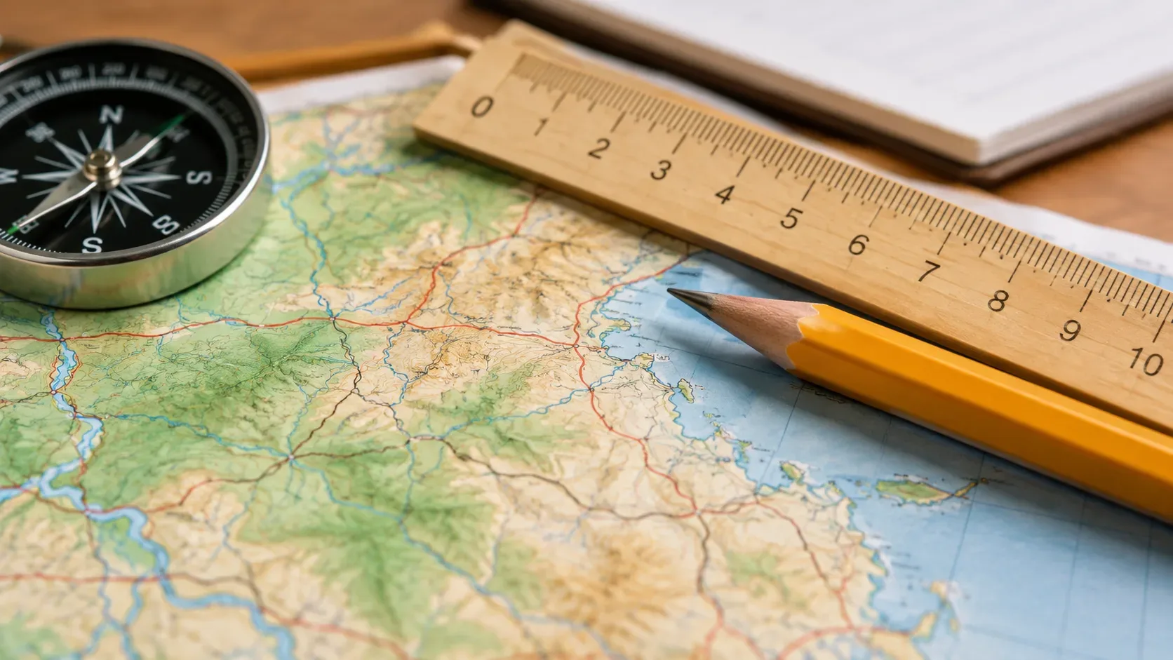
Mapa topográfico sobre uma mesa com régua de madeira, bússola e lápis amarelo.
Geography26/09/20264 min read

Map scale: how to convert centimetres to kilometres correctly

Learn to read a 1:n scale, convert cm to km and solve proportions for ground distances, map measurements and unknown scales.

Read article
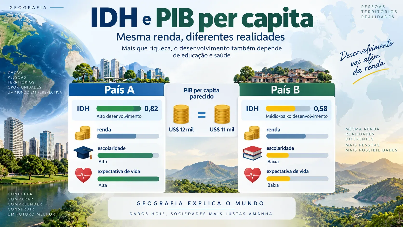
Infográfico de comparação entre os países fictícios A e B, com PIB per capita parecido, barras de IDH, moedas, livros e corações para escolaridade e expectativa de vida.
Geography22/09/20264 min read

HDI or GDP per capita: why similar incomes do not mean equal development

Learn why average output, education and life expectancy tell different stories. Compare the measures through two fictional countries.

Read article
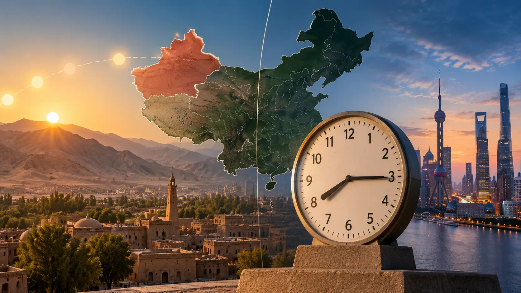
Mapa da China sobre paisagens de Xinjiang e Xangai, com um grande relógio analógico destacando o contraste entre o horário oficial e a luz solar no oeste do país.
Geography13/09/20266 min read

Why Does All of China Use UTC+8? How One Time Zone Shifts Solar Time in Xinjiang

China uses Beijing Time (UTC+8) nationwide. Learn the history of its former five-zone system, how Xinjiang Time fits in, and why solar noon in Kashgar can fall close to 3 p.m.

Read article
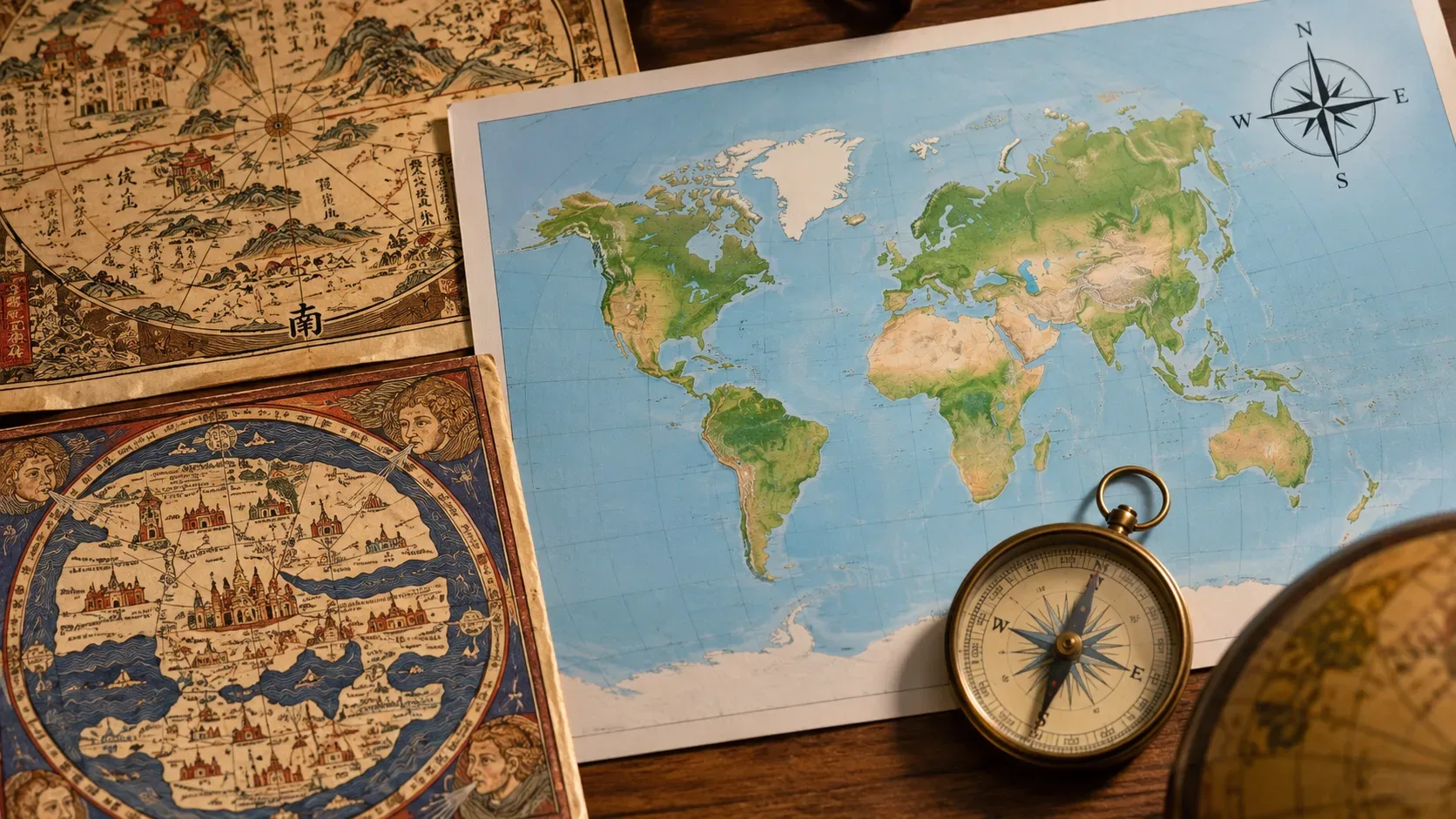
Mapas históricos e um mapa-múndi moderno sobre uma mesa, acompanhados por uma bússola de latão e parte de um globo.
Geography13/09/20267 min read

Why Is North at the Top of Maps? How a Convention Became the Standard — and Why It Could Be Different

North-up is a cartographic convention, not a rule of the planet. See how east, south, and north have all occupied the top and why one standard prevailed.

Read article
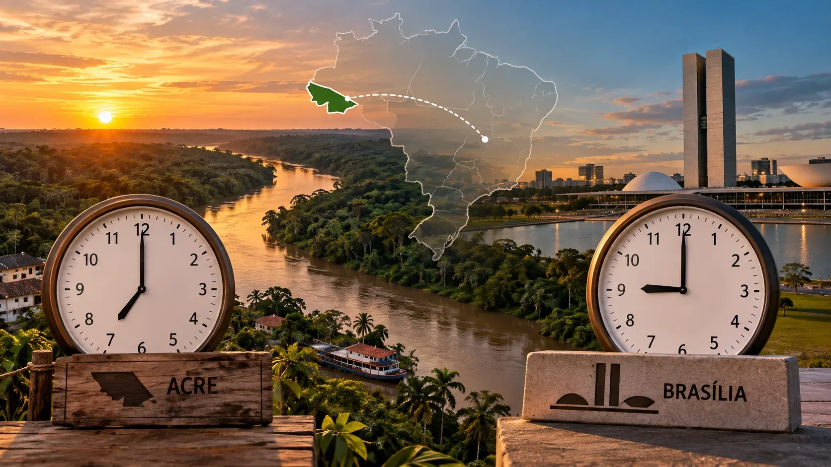
Dois relógios sobre paisagens do Acre e de Brasília, com mapa do Brasil ao centro destacando o Acre e uma conexão visual entre os dois lugares.
Geography13/09/20265 min read

Why Acre Uses UTC−5: From the 2008 Change to the 2010 Referendum and 2013 Law

Learn why Acre is two hours behind Brasília and how the 2008 change, the 2010 referendum and Law 12,876/2013 shaped its current time zone.

Read article
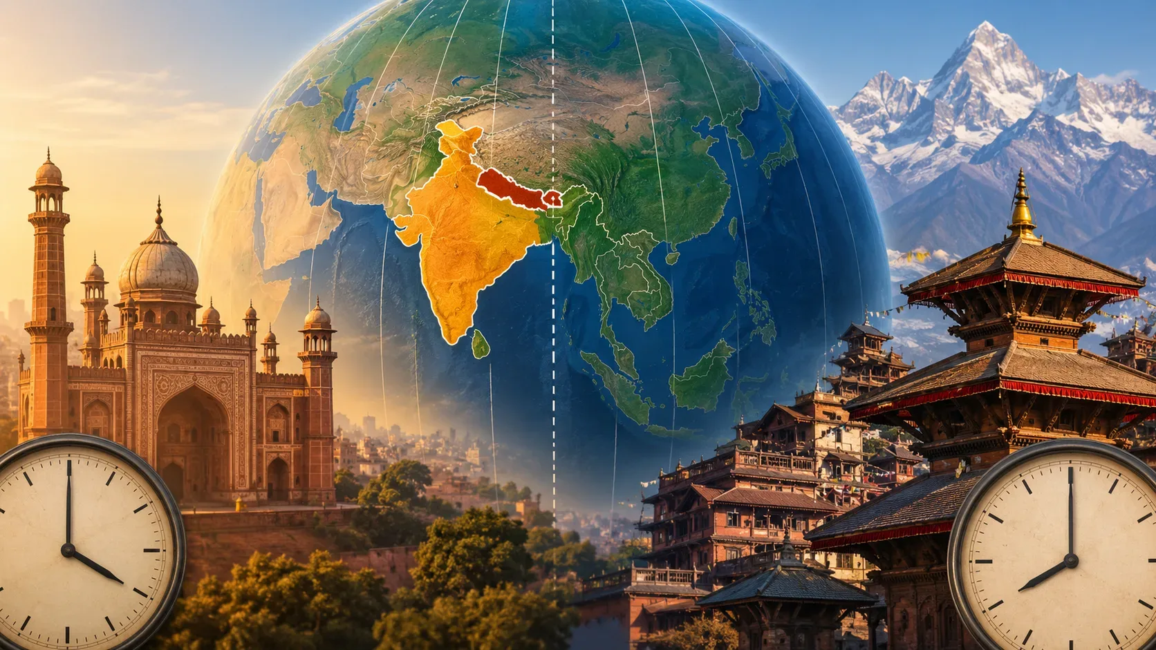
Globo centrado na Ásia com Índia e Nepal destacados, linhas de meridianos, dois relógios e paisagens arquitetônicas dos dois países.
Geography12/09/20266 min read

Why Does India Use UTC+5:30 and Nepal UTC+5:45? Longitude, History, and Borders

Learn why India and Nepal use half-hour and 45-minute offsets, and how longitude, history, borders, and national decisions shape civil time.

Read article
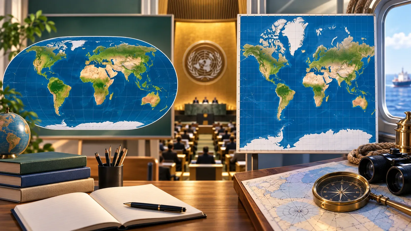
Dois mapas-múndi lado a lado, um oval com áreas continentais mais equilibradas e outro retangular com regiões polares ampliadas, diante de um ambiente de assembleia e instrumentos de navegação.
Geography10/09/20268 min read

Equal Earth vs Mercator: what the UN resolution changes on maps — and what it does not

Understand why the UN now encourages equal-area maps such as Equal Earth, and why Mercator remains useful for navigation and digital mapping.

Read article